2016-04-30 63 28
| Sat 30 Apr 2016 in 63,28: 63.6232513, 28.3795681 geohashing.info google osm bing/os kml crox |
Location
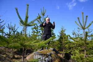
Near Tiilikkajärvi national park, Rautavaara. The point lies in a small pine wood.
Participants
- Pastori
- The Wife
Expedition
Spring came, snow went, the brooks babbled and Pastori and Wife came out and went geohashing.
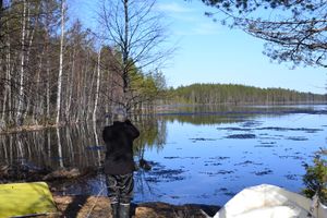
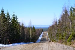
Inspired by the sunny spring day they set out to reach the nearest hashpoint of the day, which was about 20 km away. The point was near Tiilikkajärvi national park which was already familiar hiking ground for Pastori and Wife. The journey there by car was relatively comfortable with some of the sand roads in better condition than others. The car took them as close as 200 metres from the point and the point itself was easy to reach in the small pine wood at an accuracy of 0.7 metres. Pastori got very hot since he was still wearing almost winter clothes. After this he's definitely leaving his long johns in the closet to wait for the next winter.
All-in-all the excursion took 2 hours, 59 km by car, 400 meters on foot so it was a nice and easy start for the summer season of geohashing.
Additional photos
Achievements
Pastori & Wife earned the Land geohash achievement
|


