Location
On a hill in the forest very close to Schleusingerneundorf, Thuringia, Germany.
Participants
Expedition
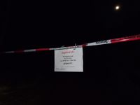
The day before, Juja was pointing out there would be a geohash very close to Schleusingerneundorf on that Friday, when Manu and Reinhard arrived there in the evening. After Manu and the kids had gone to sleep, Reinhard prepared for the short ride into the forest (4 km one direction). After passing the last houses of Schleusingerneundorf, a sign was hanging over the road, telling this area was closed on December 16 due to hunting activities. Luckily, it said this was only true between 9am and 1pm. As it was almost 11pm by then, Reinhard went on without fearing of getting shot. The forest path close to the point was frozen, but not slippery so Reinhard could ride it quite easily. Looking for a small track that should lead almost directly to the spot, Reinhard rode a big kind of circle uphill and luckily found the hardly used track in the dark. This one was harder to ride on with road tyres, but Reinhard tried it without tumbling over thick sticks or sinking in leaves. Finally he got as close as about 10 m and did the rest walking. After taking the pictures he followed that track further down to the wider forest road he came up before and carefully got back onto paved roads in the village taking a screenshot of freezing -8.0 °C.
Tracklog
Strava activity
Photos
| Restricted woodland due to hunting.
|
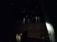
| Bike seen from the hashpoint.
|
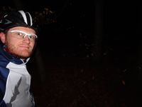
| Reinhard at the hashpoint.
|
| Moon seen from the hashpoint.
|
|


