2017-12-26 32 -16
From Geohashing
Revision as of 20:33, 27 December 2017 by imported>Danatar (backbone)
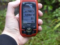
| Tue 26 Dec 2017 in Madeira East: 32.7507956, -16.8390609 geohashing.info google osm bing/os kml crox |
Location
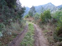
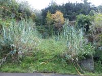
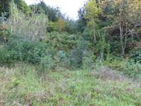
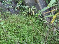
Today's location is next to the ER110 regional road near the town Porto da Cruz (or perhaps Referta is its own municipality, I don't know) on Madeira island.
Country: Portugal; region: Madeira (autonomous region, EU-PT-30)
Expedition
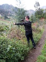
Danatar
story to be written
|
tracklog
will follow

