Location
Today's location is next to the ER108 regional road near the town Porto da Cruz (or perhaps Referta is its own municipality, I don't know) on Madeira island.
Geographically: Africa. Politically: Country Portugal; region Madeira (autonomous region, EU-PT-30)
Expedition
Together with my parents, aunt and uncle I passed Christmas on Madeira. It was great to hike in the mountains, visit the towns and enjoy the nice weather (sunny and warm instead of dark, cold and wet as at home). For the final day I was lucky enough that a hashpoint fell on land, as the island of Madeira is not that large. There was even a good chance to reach the spot before our return flight, as my plane was scheduled for the afternoon, at 5 p.m. Thanks to the long weekend over Christmas Eve and Christmas Day, I knew the coordinates 4 days in advance. When we were planning our activities for the last days I was able to influence the plans to that we would visit the northeastern part of the island on our way to the airport.
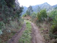
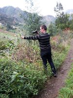
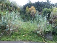
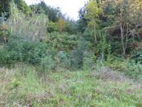
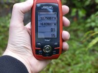
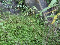
We started early (as every day during the whole week to my chagrin, what good are holidays if you can't even sleep in?) after packing our luggage and visited Ponta Delgada and San Jorge before making a stop at Porto da Cruz. From there my uncle drove up the ubiquitous steep mountainsides along ER108 (with a detour along a tiny road because of constructions works), making us gain elevation by the second. A short distance before the hashpoint we stopped at a convenient place and I walked the last 200 meters. My parents followed me while the others waited in the car. On the road I walked past the spot and took a small track that started a bit further down the road (or up if seen from sea level), going back towards the spot. The track came quite near to the spot but I didn't dare enter the bushes to get nearer than 9 meters from there because I could see the almost vertical drop down to the spot below. I decided to turn back. My parents thought I meant back to the car but no, there was still one option. From the regional road I had seen that there was an only slightly overgrown clearing at the spot and in one place there was only a medium high incline without bushes between road and clearing. With a running start across the road I was able to get on the clearing and made my way through the wet meadow to the spot. After rounding an acacia I was at the hashpoint. Hooray! Right next to the spot a stony run-off went down the slope so I was careful not to get to near to it, the edge was not visible under the plants. After taking pictures I and my parents went back to the car and we continued our journey. We were at the airport with enough time to spare even for my flight to Dresden (the others flew to Frankfurt a bit later).
| small track towards the spot...
|
| the hashpoint. note the run-off behind it
|
|
tracklog
will follow

