2018-04-15 51 9

From Geohashing
Revision as of 03:32, 16 August 2019 by imported>FippeBot (Location)
(diff) ← Older revision | Latest revision (diff) | Newer revision → (diff)
Sun 15 Apr 2018 in 51,9:
51.2293157, 9.9934375
geohashing.info google osm bing/os kml crox


Location

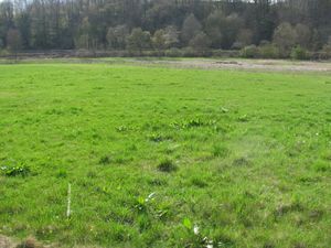
The hash lay on a meadow at Albungen.

Participants

GeorgDerReisende

Plans

Today I tried the public transport.

Expedition

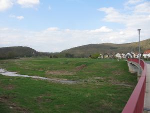
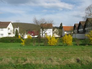
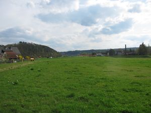
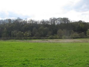
2018-04-15 51 9 GeorgDerReisende 7242.jpg Today I left home at 14:00. With the trams 6 and 4 and the buses 290 and 220 I travelled to Albungen. There I walked along the Bilsteinstraße and a dike between the village and an old stream branch.
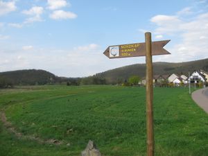
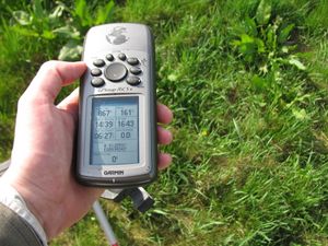
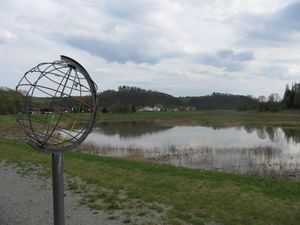
2018-04-15 51 9 GeorgDerReisende 7244.jpg 2018-04-15 51 9 GeorgDerReisende 7249.jpg Behind the bridge I found a sign leading me to the North Cape, but only 900 meters away. My GPS told me to follow this way. After some dance I found the hash on the meadow, about ten meters away from the dike top. And I looked around:
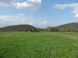
2018-04-15 51 9 GeorgDerReisende 7250.jpg to the north 2018-04-15 51 9 GeorgDerReisende 7251.jpg to the east 2018-04-15 51 9 GeorgDerReisende 7252.jpg to the south
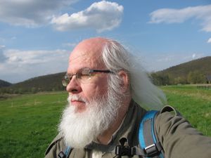
2018-04-15 51 9 GeorgDerReisende 7253.jpg and to the west. 2018-04-15 51 9 GeorgDerReisende 7259.jpg Ten meters to go. 2018-04-15 51 9 GeorgDerReisende 7256.jpg This is the geohasher.
2018-04-15 51 9 GeorgDerReisende 7273.jpg After hash I looked for the North Cape and took a look back to the hash.


Achievements

Bus.PNG
GeorgDerReisende earned the Public transport geohash achievement
by reaching the (51, 9) geohash on 2018-04-15 using public transit.

{