File:2010-03-10 41 -72 river.jpg
From Geohashing
Revision as of 15:33, 30 January 2020 by Maintenance script (talk | contribs) (Maintenance script uploaded File:2010-03-10 41 -72 river.jpg)
Size of this preview: 631 × 600 pixels. Other resolutions: 252 × 240 pixels | 2,029 × 1,929 pixels.
Original file (2,029 × 1,929 pixels, file size: 888 KB, MIME type: image/jpeg)
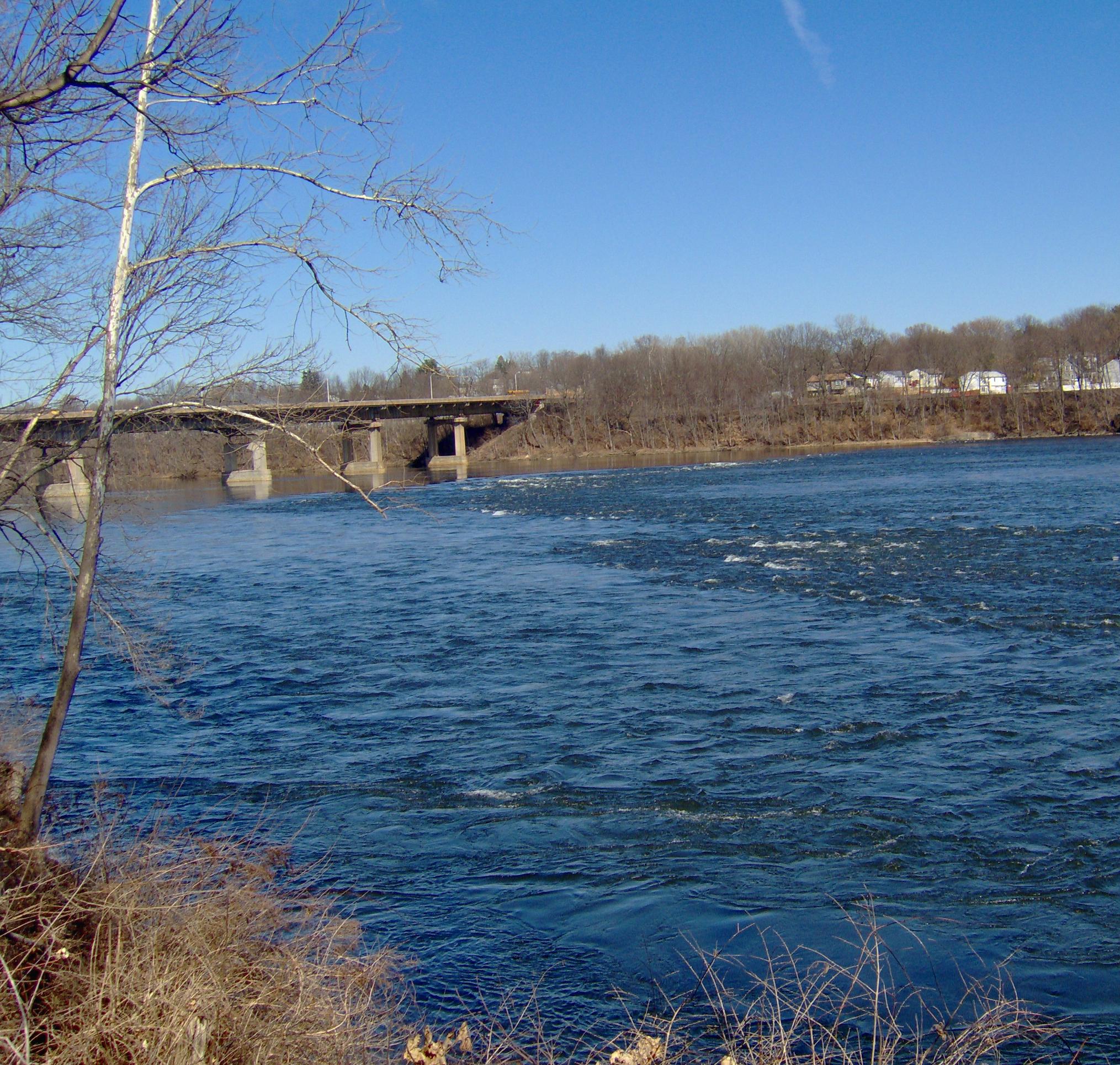
Windsor Locks Canal Trail State Park. Two days in a row, the hashpoint was within a few km of the Connecticut river.
File history
Click on a date/time to view the file as it appeared at that time.
| Date/Time | Thumbnail | Dimensions | User | Comment | |
|---|---|---|---|---|---|
| current | 15:33, 30 January 2020 | | 2,029 × 1,929 (888 KB) | Maintenance script (talk | contribs) |
- You cannot overwrite this file.
File usage
The following page links to this file: