File:2010-10-12 52 0 permissive path.jpg
From Geohashing
Revision as of 16:14, 30 January 2020 by Maintenance script (talk | contribs) (Maintenance script uploaded File:2010-10-12 52 0 permissive path.jpg)
No higher resolution available.
2010-10-12_52_0_permissive_path.jpg (768 × 576 pixels, file size: 112 KB, MIME type: image/jpeg)
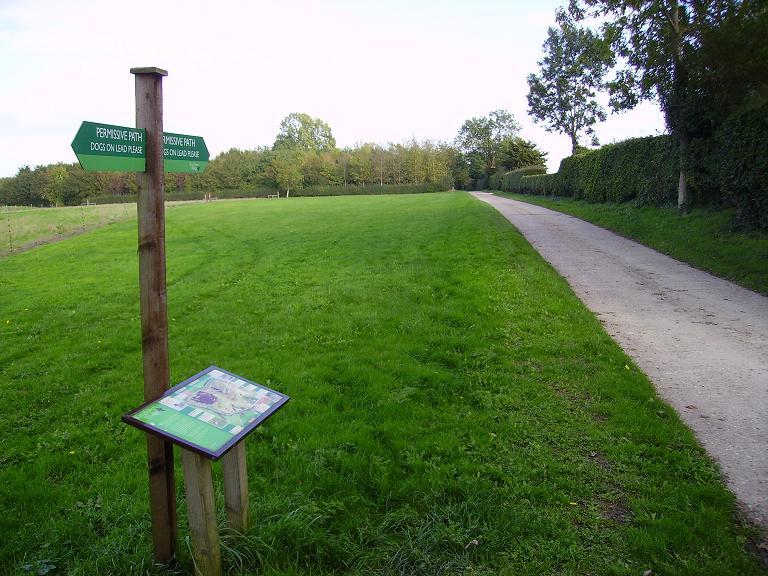
The 'permissive path' (path with no right-of-way over private land, but with the owner's permission for the public to use it) was a lot smoother and less muddy than the public bridleway, but it didn't last long.
File history
Click on a date/time to view the file as it appeared at that time.
| Date/Time | Thumbnail | Dimensions | User | Comment | |
|---|---|---|---|---|---|
| current | 16:14, 30 January 2020 | | 768 × 576 (112 KB) | Maintenance script (talk | contribs) |
- You cannot overwrite this file.
File usage
The following page links to this file: