2008-06-12 -23 -46
| Thu 12 Jun 2008 in São Paulo: -23.5114489, -46.6332663 geohashing.info google osm bing/os kml crox |
Expeditions
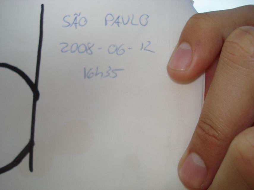
The June 12th, 2008 (Dia dos Namorados, sort of a South American banana-eating Valentine's Day) geohash in the São Paulo, Brazil graticule was located at -23.511449°, -46.633267°. Contrary to most other geohashes down here, this was pretty close (4km) from São Paulo city center, and happened to be located inside Campo de Marte. This is SP's oldest airport, today used mainly by general aviation and the military. It's easily reachable from the subway.
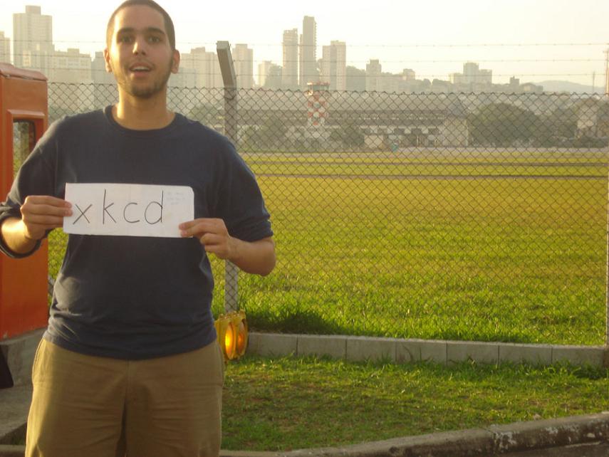
So there went I. Since it's inside the airport, I didn't think I'd be able to reach the actual spot. However, this proved wrong; I could walk in there and see the small aircraft landing and helicopter pilot training and it all. It's fun how chopper pilot training basically involves (at least the lesson I witnessed) turning around in circles, half a metre above the ground. Also, the small planes twist and shake incredibly while landing; one wonders how they manage not to touch the ground with a wing and blow themselves up.
A pilot was there taking pictures with a remarkably pink camera; I asked him to photograph me there. Also, there was a girl waiting for her boyfriend who works as a helicopter mechanic; they also took some shots of me in front of the airfield. If and when I get these pics in my mailbox, I'll post them here.
Whoa, second time I make it to a geohash. Next one I might even be able to arrive before 4. Also, I hope this Saturday is inside SP city again and not on water or some far countryside as usual. See you there!

