2020-08-05 51 13
| Wed 5 Aug 2020 in Dresden: 51.0582451, 13.8052040 geohashing.info google osm bing/os kml crox |
Location
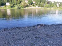
Today's location is in the Elbe river at Dresden-Blasewitz, a few steps in from the left/southern bank.
Country: Germany; state: Sachsen (Saxony, EU:DE:SN); district: Dresden; municipality: Ortsamt: Blasewitz; Stadtteil: Blasewitz
Weather: nice and sunny
Expedition
Enter names here
...
Danatar
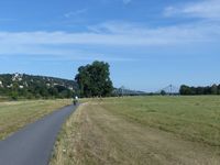
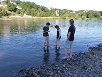
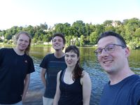
The hashpoint is so near that I decided to make a short trip there after work. I cycled to the Elberadweg cycling route, then along the Elbe until I reached the lone tree near the hashpoint. When I walked the last meters to the Elbe, which in this place has a small stony beach, I saw three people standing at the water's edge. Pretending to be just a random passerby, I stood a dozen meters downstream from them and waited for them to leave so I could continue my expedition. They didn't, but then I heard some snippets of their conversation: "accuracy is not good enough yet" and "maybe we have to go into the water". Could it be...? When I asked them whether they were there for geohashing they confirmed that. Hooray, surprise meetup!
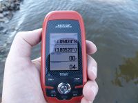
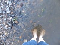
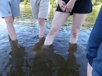
While I was still taking of my shoes and rolling up my trouser legs, they were already walking into the Elbe. My own GPS dance followed and it ended up less than one meter off the shore. As we were still able to stand, this regretfully does not count as a water geohash, but we were happy nontheless. After documenting the success we left the river and sat down in the grass, talking a bit. After a while I left and the others stayed for a small picnic. I cycled along the Elberadweg up to the Waldschlösschenbrücke, then I followed the road home.
|
Tracklog: will follow
