2020-10-03 51 13
| Sat 3 Oct 2020 in Dresden: 51.9149816, 13.7000617 geohashing.info google osm bing/os kml crox |
Location
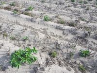
Today's location is in a potato field between Kasel-Golzig / Zauche and Luckau / Klebnitz.
Country: Germany; state: Sachsen (Saxony, EU:DE:SN); district: Dahme-Spreewald; municipality: Kasel-Golzig
Weather: sunny
Expedition
Danatar
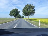
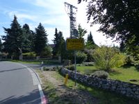
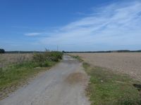
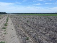
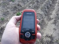
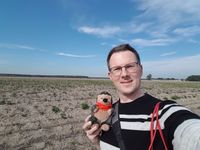
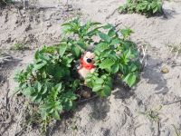
I was on my way to Berlin for an orchestra rehearsal (the concert had already been canceled because of SARS-CoV-2, but we decided to make a recording of a smaller group for a virtual concert instead). On the way I left the Autobahn A13 at the Calau exit and drove to Luckau. From there it was not far to Kreblitz. I parked the car on the "main" street (out of five) and started walking. First I walked along a country road, then there was a field track. Two very big dogs were protecting a sheep pasture, I think they felt victorious when I continued down the track after their very loud barking. Then I reached the hashfield. It had long rows of earthen hills and it took a rather long time for me to recognize the dry sticks and few green leaves as potato plants (more specifically I recognized the round things that sometimes peeked out of the ground). I was able to walk easily between the wide rows until I was at the hashpoint at 13:30 (because hash o'clock would have been too late). While I was taking pictures, the camera's battery died. No problem, I always carry a spare. The spare turned out to be empty as well. Oops, that means no good pictures of the orchestra this weekend. At least I was able to take some pictures with my phone. Then I walked back to my car and continued towards Berlin, re-joining the Autobahn at the Freiwalde exit. As most of the road went into the same general direction as the Autobahn, the expedition was only a detour of 5.7 km (and another 5 km on foot).
|
tracklog
will follow
