File:2021-09-17 40 -4 L1040661.JPG
From Geohashing
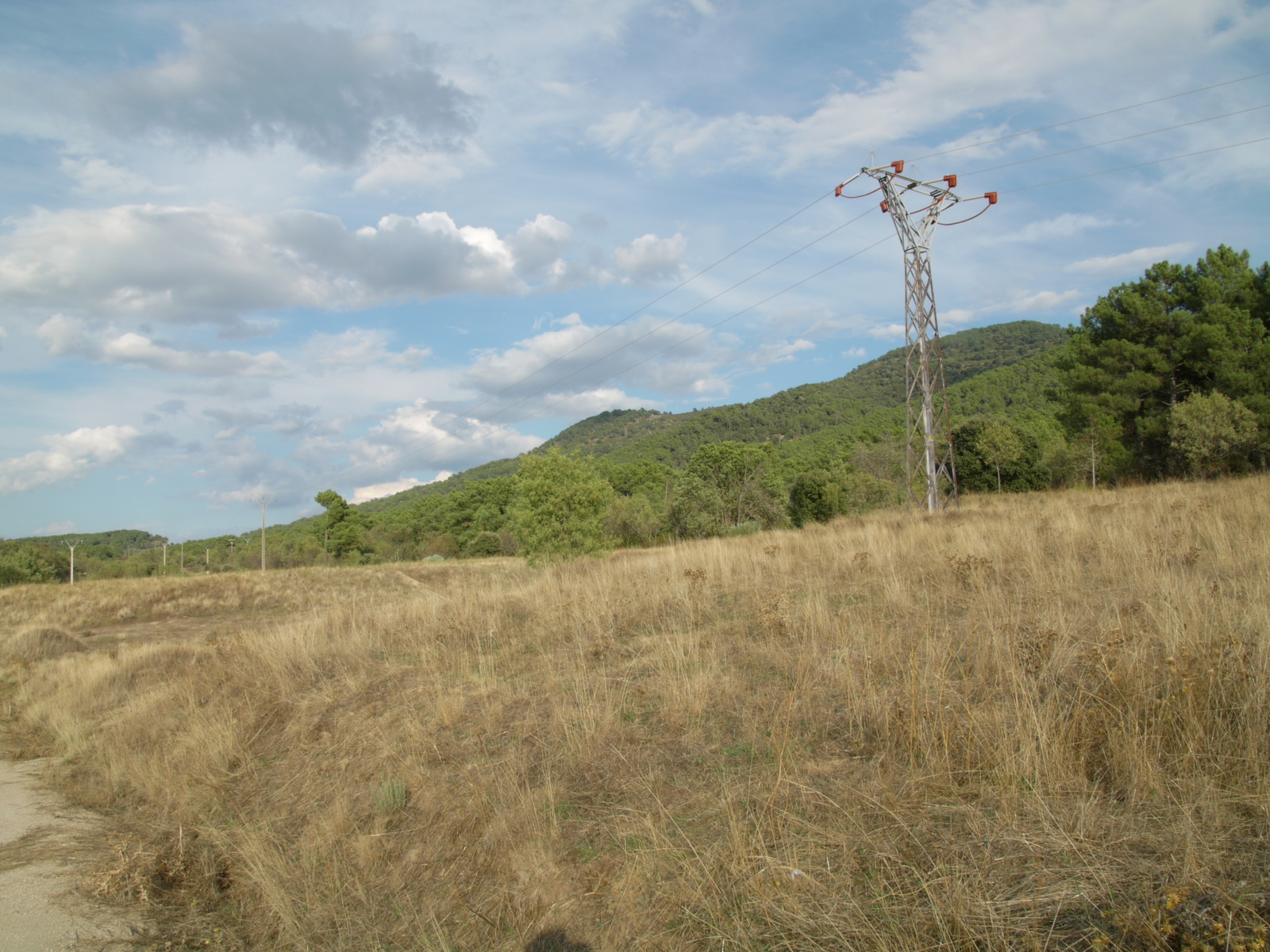
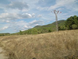
Revision as of 15:16, 22 September 2021 by Wingman (talk | contribs) (Category: Meetup on 2021-09-17 Category: Meetup in 40 -4 At this point I give up. The geohash is 2 km away in viewing direction, note the hill in the center. The fence is obscured by the grass covered wall in the front.)
Size of this preview: 800 × 600 pixels. Other resolutions: 320 × 240 pixels | 1,600 × 1,200 pixels.
Original file (1,600 × 1,200 pixels, file size: 699 KB, MIME type: image/jpeg)
Summary
At this point I give up. The geohash is 2 km away in viewing direction, note the hill in the center. The fence is obscured by the grass covered wall in the front.
File history
Click on a date/time to view the file as it appeared at that time.
| Date/Time | Thumbnail | Dimensions | User | Comment | |
|---|---|---|---|---|---|
| current | 15:16, 22 September 2021 | | 1,600 × 1,200 (699 KB) | Wingman (talk | contribs) | Category: Meetup on 2021-09-17 Category: Meetup in 40 -4 At this point I give up. The geohash is 2 km away in viewing direction, note the hill in the center. The fence is obscured by the grass covered wall in the front. |
- You cannot overwrite this file.
File usage
The following page links to this file: