| Mon 10 Nov 2008 in 42,-71: 42.6346486, -71.0654651 geohashing.info google osm bing/os kml crox |
Participants
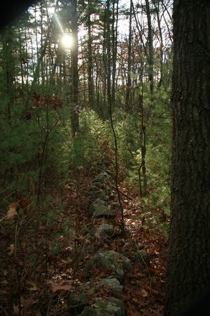
User:Ottodelupe was maybe there. Joannac thinks he didn't make it because the caption on the photo say North Andover, and that's not where the point is for this day.
Sayeth Ottodelupe - the map to the right clearly shows the point as being in North Andover. Given that I live in NAndover, I want to think I know that I wasn't in Middleton... I would have had to been on the other side of Sharpner's Pond Road.
