2022-09-17 51 14
| Sat 17 Sep 2022 in Cottbus: 51.0977007, 14.1079085 geohashing.info google osm bing/os kml crox |
Location
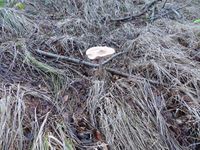
Today's location is at the edge of a forest near Großharthau.
Country: Germany; state: Sachsen (Saxony, EU:DE:SN); district: Bautzen; municipality: Großharthau
Weather: it rained. Not the whole time, but too much
Expedition
Danatar
This report is 9 months late.
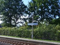
I took the train to Großharthau station. From there I had two options, either take the long way along the very active B6 federal road to the "palace garden" and then follow the Wesenitz creek and through the forest (distance approx. 2.7 km); or take the shorter walk through side streets, crossing the creek at the railway bridge and then following it (approx. 2.0 km). I knew that the time between the arrival of my train and hash o'clock would be barely long enough to make it, so I chose the shorter route. Or so I thought...
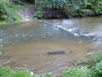
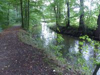
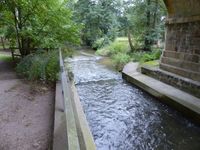
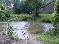
I set out from the train station at a brisk pace, following "paradise road" through a peaceful neighborhood called Paradise. Then I reached the Wesenitz creek. At the place where the map had made me believe I would be able to cross the creek, I got a bad surprise: There was no bridge there, just a ford. Dang! Since I did not want to get wet up to mid-calf and with my shoes, I now had to make a large detour. I hurried along the creek, took the bridge right in front of the palace garden, then hurried along the creek on its other side. Eight minutes later I was on the other side of the ford after that detour of almost one kilometer.
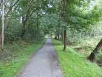
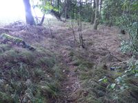
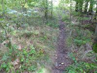
It was 5 minutes to 4 and I was about 800 meters from my destination, so I continued to follow the forest paths, jogging intermittendly. I think this was where it started to rain. In the hurry I took the wrong track at an intersection, which led me to walk/run a detour of another 300 meters or so. I was not in good running shape. The last 200 meters were at the edge of the forest, but I had to stay in the forest because a field with a fence was reaching right up to the first trees. So I trampled through the wet bushes as fast as I could, with only a hint of a trail visible.
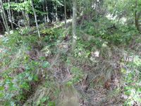
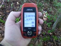
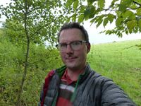
I was within 5 meters of the hashpoint at 16:08. Yes, if it weren't for that ford instead of a bridge, I would have been exactly on time. With the unplanned detour, the walking distance from the train station to the hashpoint was about 3 km. A very wet hashdance followed. GPS reception in the forest is always bad, and in the rain doubly so, I think because of the water droplets on the leaves disrupting the signal; it's usually only one step from "you are 1 meter too far East" to "you are 8 meters too far West". Many bushes were touching me with their wet branches and I was decidedly not happy. But I reached the spot.
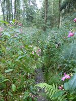
Rather wet I started back towards the train station. Since I didn't want to walk back along the almost trail-less edge of the forest, I took the trail I had originally planned to take on the there leg of the journey. That went okay for a while, but then, right in the middle of the forest, the floor was rather wet, turning the ground into mud. At the same time, the narrow trail was going right through large patches of chest-high plants. Water falling from above, water on the ground, water reaching out to me from the plants... wet hair, wet face and glasses, wet down jacket (that "rainproof and breathable" was a lie, it was keeping the water and sweat IN), wet jeans... why am I doing this again? As soon as I was more than a kilometer (or whatever) away from the hashpoint, the rain stopped, which made no difference to how wet I was. Reaching the next return train would have been only possible if I had reached the hashpoint on time, so I trudged along the forest tracks and then along the federal road (including a lengthy part that had roadworks going on and thus was partially blocked) until I was back at the train station.
|
Danatar earned the Drowned Rat Geohash Achievement
|
tracklog
