2023-09-08 51 7
| Fri 8 Sep 2023 in 51,7: 51.9223781, 7.6164133 geohashing.info google osm bing/os kml crox |
Location
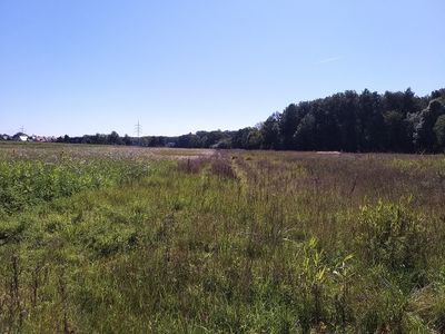
This Geohash is located on a meadow in Münster-Berg Fidel.
Participants
Expedition
Before noon, I cycled to Osnabrück Central and took the train to Münster.
In Münster, I walked along some larger streets and then through residential quarters, before crossing a bridge over train tracks and walking along some fields. The coordinates turned out to be on a wild meadow, with me on the northern side. I spotted some desire paths through there, including two parallel ones that looked like someone had driven through there.
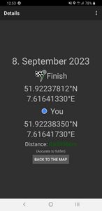
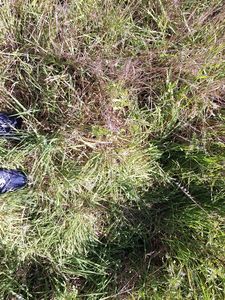
Following those tracks, I was led all the way to the coordinates, and located proof there. The tracks didn't continue all the way to the other side of the meadow like I had hoped. Instead, they sent me on a detour, taking a right turn and leading me to a stream. I considered going back the way I came from, but then I saw three fallen trees crossing the stream. Using them as a bridge, I was able to get to the western bank.
Now, after walking through forest and communal garden paths, I finally did end up on the southern side of the meadow. From there, I walked to the Vennheideweg bus stop, took the bus to Münster Central, the train to Osnabrück Central and cycled back home.
Photos
Tracklog
Ribbons
Fippe earned the Land geohash achievement
|


