Murray Bridge, Australia
From Geohashing
|
Latest Coordinates and Map Quick-Links | |
|---|---|
| Saturday 2024-11-23 | -35.4452558, 139.9971067 |
| Sunday 2024-11-24 | -35.3551281, 139.6005570 |
| Monday 2024-11-25 | -35.7269909, 139.9214530 |
| Adelaide North | Mannum | Berri |
| Adelaide South | Murray Bridge | Lameroo |
| -36,138 | Kingston | Naracoorte |
|
Today's location: geohashing.info google osm bing/os kml crox | ||
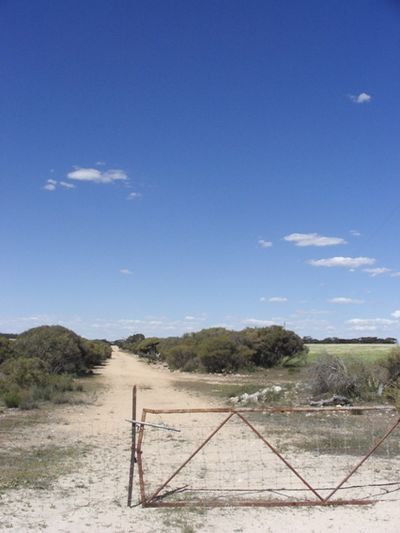
The Murray Bridge graticule lies at -35 degrees latitude, 139 longitude. That means it's only 10 graticules straight east to get to Canberra. The graticule includes the City of Murray Bridge (SA's 4th largest) and the townships of Meninge and Tailem Bend, as well as lots of other little towns well worth exploring. It also contains the great wildlife reserve of the Coorong, and Lakes Alexandria and Albert, but for just how long remains to be seen.
Expeditions
11th of October 2008 - UnwiseOwl does something silly in a paddock.
Attractions
Information to follow.
Local Geohashers
None known at this time, but parts of the graticule are within a short drive of those crazy cats in Adelaide.
Achievements
UnwiseOwl earned the Graticule Unlocked Achievement
|
