2024-05-15 52 8
| Wed 15 May 2024 in 52,8: 52.4082337, 8.2287004 geohashing.info google osm bing/os kml crox |
Location
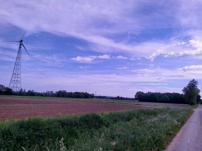
This Geohash is located on a field in Venne.
Participants
Expedition
In the afternoon, I walked to Osnabrück Central, took the train to Bohmte and the bus to Hunteburg/Bahnhof, which is not a train station despite its name.
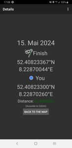
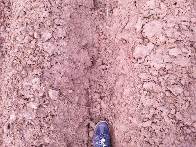
From there, I walked the rest of the distance. The coordinates were on a field surrounded by wind turbines. It may have been an asparagus field. Carefully, I walked through the rows until I reached the coordinates. After recording proof, I left the field.
Afterwards, I walked to Venne/Venner Esch, a bus stop that exists on the apps (VOSpilot, DB Navigator, Google Maps) but not in reality. Luckily, but bus driver stopped anyway and explained that the bus stop did not exist yet. I took the bus via Ostercappeln/Krankenhaus and Osnabrück/Neumarkt back home.
Photos
Tracklog
Ribbons
Fippe earned the Land geohash achievement
|


