2024-06-21 52 7
| Fri 21 Jun 2024 in 52,7: 52.4999903, 7.7024882 geohashing.info google osm bing/os kml crox |
Location
This Geohash is located at a creek at the edge of a forest in Fürstenau.
Participants
Expedition
In the afternoon, I took the train to Bersenbrück, the bus to Fürstenau/Ostlandstr, and walked the rest of the distance.
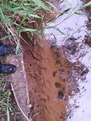
The coordinates were at a creek at the edge of a forest, I approached them on a path going parallel to the creek. OSM made it look like the coordinates were on the eastern bank, but satellite imagery shows that they were in the creek, closer to the western bank.
Thankfully, I had the high ground, so jumping across was not too difficult. On the western bank, I was able to zero in. I could not get back to the path on the eastern bank, so I walked a few meters through the forest until I reached the the main road.
Now I walked to the Fürstenau/Sellberg bus stop, took the bus to Bersenbrück and the train back home to Osnabrück.
Photos
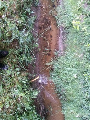
The Geohash viewed from the eastern bank
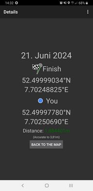
Proof on the eastern bank
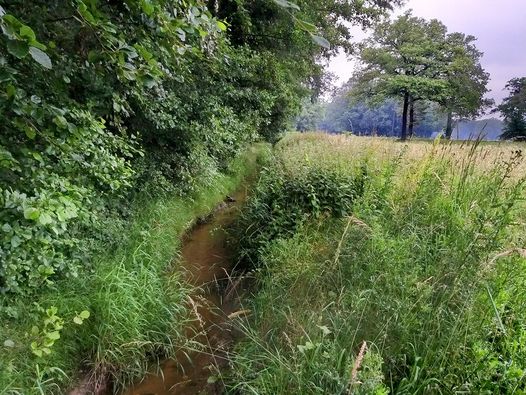
The site of the Geohash
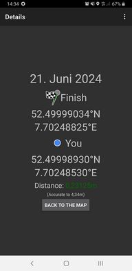
Proof on the western bank
The Geohash viewed from the western bank
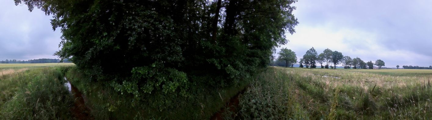
Surroundings


Tracklog
Ribbons
Fippe earned the OpenStreetMap achievement
|