2024-06-23 52 8
From Geohashing
| Sun 23 Jun 2024 in 52,8: 52.3448691, 8.2343253 geohashing.info google osm bing/os kml crox |
Location
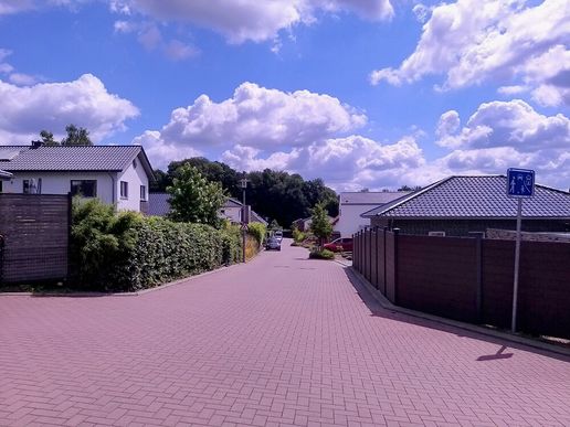
This Geohash is located on a residential street in Ostercappeln.
Participants
Expedition
In the morning, I took the bus to Osterkappeln/Krankenhaus and walked the rest of the distance, taking some detours to check if some paths that were not yet mapped on OSM exist.
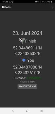
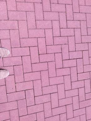
The coordinates were at the western end of a residential road called Paulas Garten (Paula's garden), paved with red bricks. It was not difficult to locate the coordinates and record proof.
Afterwards, I walked back to the bus stop, taking some more detours, and took the bus back home to Osnabrück.
Photos
Tracklog
Ribbons
Fippe earned the Land geohash achievement
|
Fippe earned the OpenStreetMap achievement
|


