2024-07-06 52 8
From Geohashing
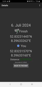
| Sat 6 Jul 2024 in 52,8: 52.8323144, 8.3963326 geohashing.info google osm bing/os kml crox |
Location
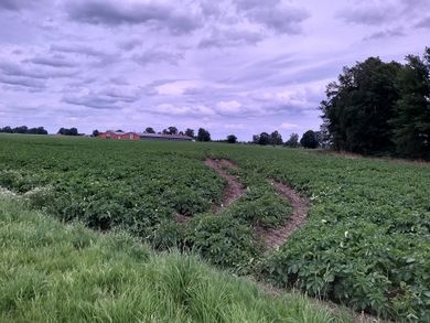
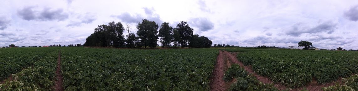
This Geohash is located on a field in Rechterfeld.
Participants
Expedition
In the morning, I took the train to Rechterfeld and walked the rest of the distance.
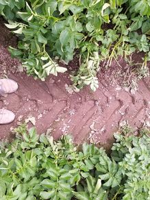
The coordinates were on a potato field near the end of a street that turned into a path. I located them in tractor tracks and recorded proof.
Afterwards, I walked to Goldenstedt, first along the efges of a field, then along regular streets.
On the way, I walked along the Ligusterweg (Privet Drive) (again), and saw two different people on lawn tractors in that street alone. House #4 unironically had a really nice looking lawn. From the station in Goldenstedt, I took the train back home to Osnabrück.
Photos
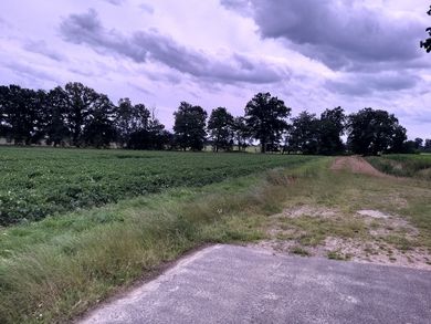
The street turns into a path
Proof
The Geohash
The site of the Geohash
Surroundings
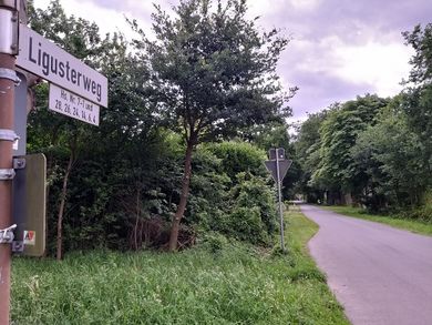
Privet Drive


Tracklog
Ribbons
Fippe earned the Land geohash achievement
|
Fippe earned the OpenStreetMap achievement
|