2024-07-25 52 7
From Geohashing
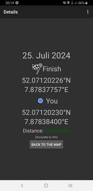
| Thu 25 Jul 2024 in 52,7: 52.0712023, 7.8783776 geohashing.info google osm bing/os kml crox |
Location
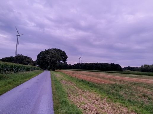
This Geohash is located on a field in Ostbevern.
Participants
Expedition
In the evening, I walked to Osnabrück Central, took the train to Ostbevern and walked the rest of the distance.
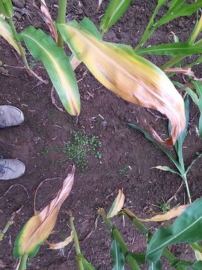
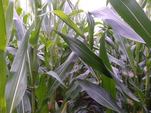
The coordinates were on a field, most of it being an already harvested wheat field. For the last few meters, I took a few steps though some maize plants, located the coordinates there and recorded proof.
Afterwards, I walked to Kattenvenne, took the train to Osnabrück Central and walked back home.
Photos
Tracklog
Ribbons
Fippe earned the Land geohash achievement
|
Fippe earned the OpenStreetMap achievement
|
Fippe issued a challenge for the Tale of Two Hashes achievement
|


