2024-07-24 50 9
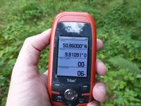
| Wed 24 Jul 2024 in Fulda: 50.8600000, 9.8109109 geohashing.info google osm bing/os kml crox |
Location
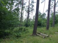
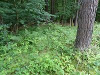
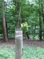
Today's location is in a clearing in the forest near Schenklengsfeld-Malkomes.
Country: Germany; state: Hessen (Hesse, EU:DE:HE); Regierungsbezirk: Kassel; district: Hersfeld-Rothenburg; municipality: Schenklengsfeld.
Weather: sunny with clouds
Expedition
Danatar
This expedition is the fourth part of an Ultra Hash (4 geohashes on the same day).
| 09 | 10 | 11 | 12 | |
|---|---|---|---|---|
| 50 | 4) 50 9 | 3) 50 10 | 2) 50 11 | 1) 50 12 |
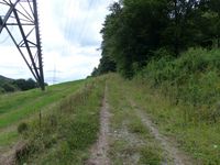
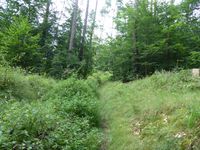
I left the Autobahn A4 for the fourth time, now at the Friedewald exit. I drove through Friedewald, then along a country road that I already knew from another nearby expedition. Not far from the hashpoint I parked and started to walk along a forest track. That track some got worse, but it didn't take me long to get near the spot. A hashdance across a clearing brought me to my fourth success of the day, hooray! I didn't stay long, because by this time I had already been on my journey for more time than the whole drive usually takes and I was still only halfway to my parents' place. I continued to Bad Hersfeld where I got back on the A4. After a total of about 10 hours, I reached my destination.
|
