2017-07-26 63 28
| Wed 26 Jul 2017 in 63,28: 63.7510924, 28.4245128 geohashing.info google osm bing/os kml crox |
Location
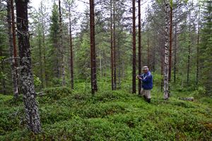
Valtimo, Rumo, Yläkuohu swamp. The point lies in the middle of a swampy area, on a small hill in a pine forest.
Participants
- Pastori
- The Wife
Expedition
Pastori wanted to go check how many berries and mosquitoes there were in the forests around them and this also gave him the excuse to visit today's hashpoint. The distance to the point was only 10 km as the bird flies but 23 km one way on the winding roads. The drive there was pleasant in a foggy and damp summer weather with the temperature at only +13 degrees Celsius. That's what this summer has been like in their backwaters!
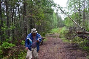
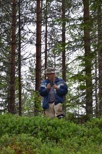
Driving on the tiny winding roads took them only 1 km away from their 100th hashpoint. They couldn't get right by today's hashpoint by car, because a storm had felled some trees on the road. Thankfully the forest was walkable, though very wet. They walked for about 450 m one way from the car. They reached the point after some climbing and dancing at an accuracy of 0.939 m.
Result: Hashpoint was easy, there doesn't appear to be any berries but plenty of mosquitoes. And back they went into the sauna again...
Photos
Achievements
Pastori earned the Land geohash achievement
|


