2024-10-25 48 7
| Fri 25 Oct 2024 in 48,7: 48.4826895, 7.9077199 geohashing.info google osm bing/os kml crox |
Location
In a field near Offenburg
Participants
- Monotof
- Lacreo
Plans
The hashpoint was just off the Autobahn on our route back from the black forest and the weather was very nice so we decided to try to reach the hashpoint. By coincidence the hashpoint was just ~14 km away from the one we caught on our trip down 6 days earlier and also right next to the autobahn as before.
Expedition
To the hashpoint
We just started our drive back from the black forest when we got stuck in a hefty traffic jam in the aptly named Höllental (hell valley). When absolutely nothing was moving anymore and several fire engines passed us we decided to turn around and try a different route. Afterwards we found out this was very much the correct decision as a big traffic accident had just happened and the road was fully closed for a long time. We got to take a longer but more scenic route from from the black forest, even dodged another traffic jam on the autobahn this way and reached Offenburg at lunchtime. Since the hashpoint was on the other side of the city we had lunch on our way through and picked up the hashpoint afterwards. We parked at the edge of Waltersweier (a part of Offenburg) and walked the remaining 350m to the hashpoint on a easy path between the fields.
At the hashpoint
The hashpoint was in a luckily freshly plowed field, so we had no issue reaching the hashpoint. There was really not much there apart from fields so we just took the prerequisite pictures, walked back to the car and continued our journey
Photos
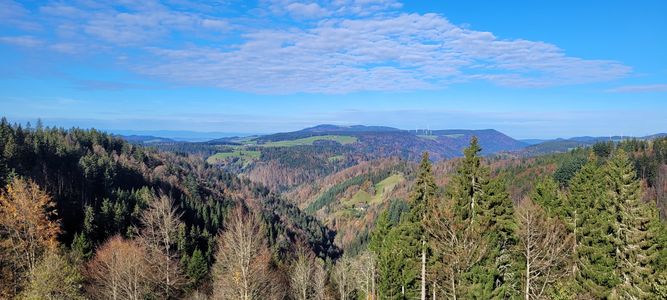
Scenic route due to accident

Stupid Grins™
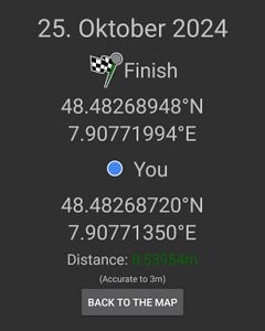
Proof
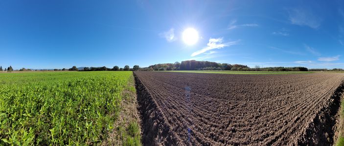
Panorama near the hashpoint


Tracklog