2024-11-30 -37 142
| Sat 30 Nov 2024 in -37,142: -37.0880208, 142.7032960 geohashing.info google osm bing/os kml crox |
Location
In Illawarra State Forest, near Stawell.
Participants
Expedition
Saturday morning, KT and I are packing for a big adventure. A 3 day hike. About to leave the house. Only question: which direction?
Plan A: up on the Bogong High Plains. Problem: a lot of rain forecast, up to 25mm per day.
Plan B: Lake Tali Karng. Problem: road is currently inaccessible to two-wheel drive vehicles. Also a lot of rain forecast.
Plan C: Grampians Peaks Trail. Not so much rain forecast. Also, an accessible geohash on the way. Let's go!
The drive is smooth and uneventful, interrupted only by a tasty if messy chicken tandoori wrap in Bacchus Marsh. And succumbing to an effective road-side advertising campaign luring us to a fruit stall where we buy a punnet of raspberries. And ten nectarines. And half a kilo of cherries. And two bags of dried mangoes.
And then the rain hits, in intense showers that make me wince every time my damaged wiper blade squeaks.
But things clear up by the time we part ways from the direct route to Halls Gap and veer towards Stawell. We pass through the improbably named town of Great Western, where I learn some interesting family history on KT's side.
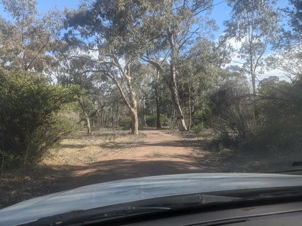
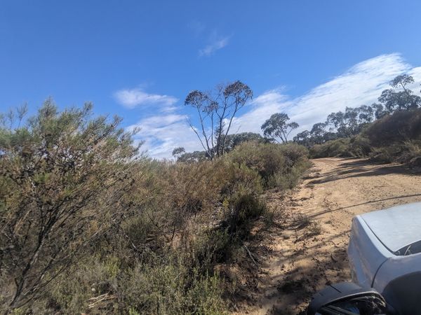
The road into the geohash starts scenic and sealed, and only gets better as the road deteriorates. Soon we're on a really cute little track which is in improbably good condition. It's perfectly flat, nice and firm, and there aren't any fallen branches or deep ruts.
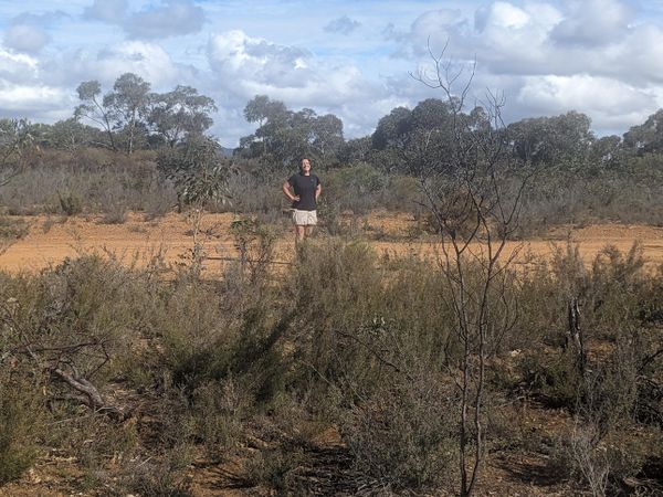
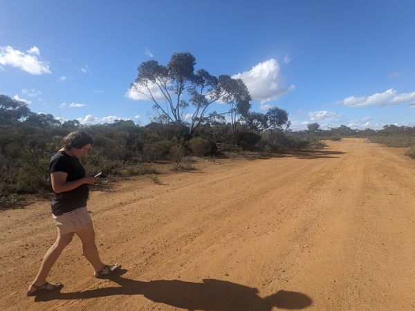
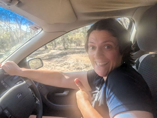
KT's driving and I'm envious. I also wish I was cycling, I'd absolutely love riding on this kind of stuff. The light is gorgeous. The landscape is open, rich red dirt speckled with gum trees and scrubby bush.
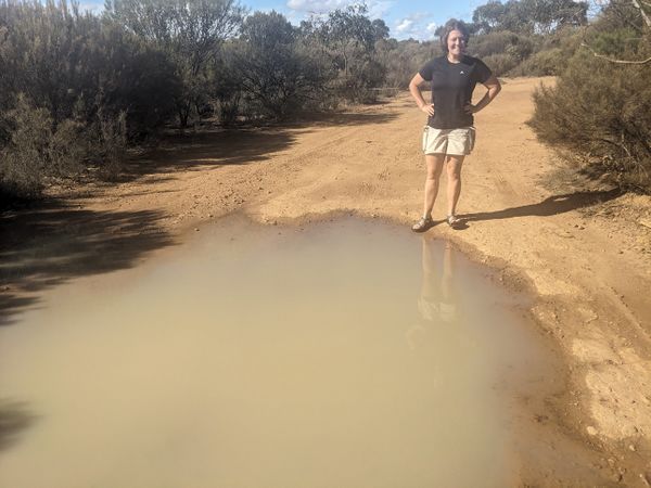
We approach a puddle and I most definitely do not want a repeat of the time we got bogged near Benalla while crossing a muddy puddle. So I call a halt to proceedings and we continue on foot.
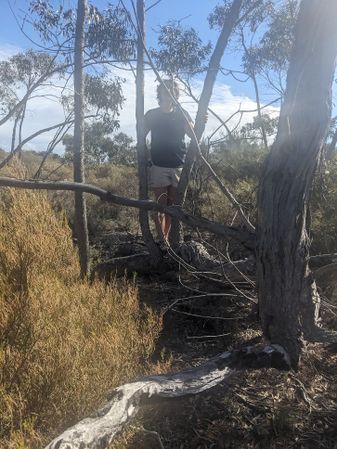
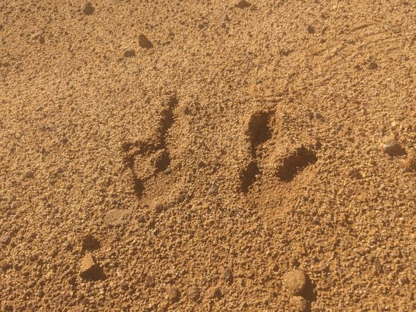
It's indescribably nice and peaceful. No traffic noise, no wind or rain, just a couple of birds. We crunch our way across the dirt, around a few straggly bushes and across a fallen log or two. Getting close to the point, KT excitedly climbs a tree whose horizontal branch beckons, but we're disappointed to learn the point is not actually in the tree.
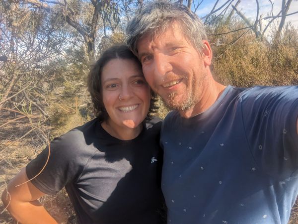
Still, it's a perfect moment of geohashing, taken to a point we would never have thought to come, but glad to have found.
We drive out a different way, which, unlike last time we tried that, does not lead to disaster. More fun little dirt track, a couple of mildly adventurous ruts, and a few signboards devoid of any information. But we do eventually find a sign identifying this location as Illawarra State Forest.
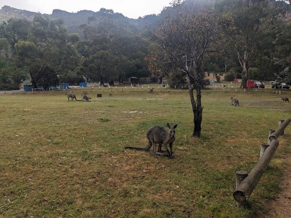
We bid farewell to it, and continue on to Halls Gap.
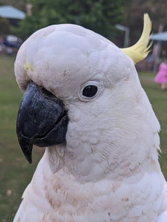
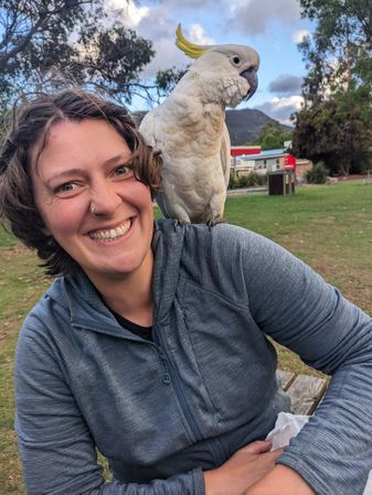
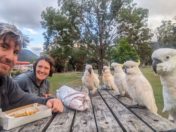
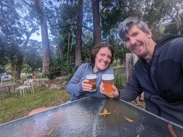
Here we celebrate with a beer in a lush beer garden. Our classic post-hash fish and chips in the park begins normally but soon we are mobbed by band of moderately demanding sulphur-crested cockatoos. They are crestfallen to be informed that we will not be feeding them, no matter how much they peck at my arm or climb on KT's shoulder. Splendid day all round, really.
