Difference between revisions of "2008-06-14 55 13"
From Geohashing
imported>HannesL (→About) |
imported>FippeBot m (Location) |
||
| (2 intermediate revisions by 2 users not shown) | |||
| Line 23: | Line 23: | ||
Image:2008-06-14_55_13_11.jpg|Close to the point was "Karaby backar", which is some kind of Viking thing. Note the rune stone on the second hill from the left. | Image:2008-06-14_55_13_11.jpg|Close to the point was "Karaby backar", which is some kind of Viking thing. Note the rune stone on the second hill from the left. | ||
</gallery> | </gallery> | ||
| + | <!-- presume the spot was not reached from the description --> | ||
| + | |||
| + | [[Category:Expeditions]] | ||
| + | [[Category:Expeditions with photos]] | ||
| + | [[Category:Coordinates not reached]] | ||
| + | [[Category:Not reached - No public access]] | ||
| + | {{location|SE|M}} | ||
Latest revision as of 05:06, 7 August 2019
| Sat 14 Jun 2008 in 55,13: 55.8067463, 13.0388869 geohashing.info google osm bing/os kml crox |
About
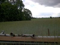
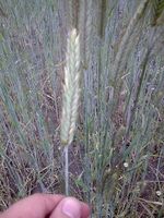
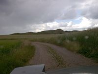
This hash in the Malmö, Sweden graticule was located in Västra Karaby in a field behind someone's back yard... Was a bit tricky to get closer than 200 meters. GPS: (55.806746324522N, 13.0388868587671E). Just like two other times, the point was in a field of some sort. Must look up what the crop is called. Could it be wheat?
Update: Yes! it is wheat!
You see an Aerial view here.
The Meetup
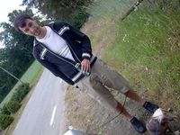
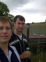
HannesL enjoyed the drive there. Per enjoyed the ride and the "Folköl" (people's beer, ie. not very strong beer).
- Photo Gallery
