2009-02-08 33 -84
| Sun 8 Feb 2009 in Atlanta: 33.7552405, -84.1034115 geohashing.info google osm bing/os kml crox |
Contents
Planning
This expedition was a little East of downtown, in a subdivision. The satellite photos put the hashpoint in some woods, surrounded by some completed houses and some houses under construction. As the satellite photos could be well outdated by now, we weren't sure just what we'd find, or if those woods were even still there. But it was a Sunday, and this expedition would give us a three day consecutive geohash, so there was no reason not to attempt.
Expedition
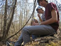
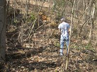
We left Nick's loft around 10:45, and brought supplies for a picnic at the hashpoint. We drove out into the area and to our delight, the woods were still there. And oddly enough, there were no signs forbidding access. Woo hoo! So we parked the car on the shoulder and started off with our supplies and our Garmin eTrex GPS. The woods weren't too bad, except for one bit that was quite thick and gave us some trouble. There was also some serious elevation change, so we went carefully and methodically. We crested the final hill to view the hashpoint, and descended to our picnic. The actual point was in a small clearing in a valley, about 30 feet from a small stream. Success!
So we sat down on a log to enjoy our victory picnic of pringles and Coke.
((More to come, but presently I have to go to Lab. -Woodveil 22:33, 9 February 2009 (UTC)))
Gallery
- Photo Gallery
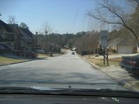
Driving to the nearest point.
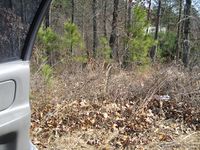
The woods.
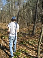
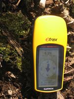
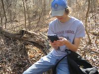
Chris with the GPS.

Nick with the camera
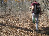
This stuff was thick.
Oh yeah!
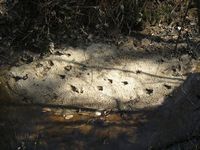
Some raptor tracks in the creek
This is a picture that could only come about from Geohashing.

That's what he was doing.
Picnic!
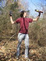
"Stand back, he's going to try Pringles!"
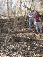
This is a nice wide shot.
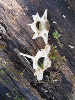
The bones Nick found.
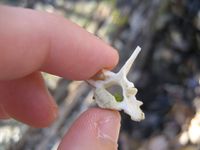
This gives you a sense of scale.
And, Chris may or may not have peed on the hashpoint...


Achievements
This user earned the Land geohash achievement
|
This user earned the Picnic achievement
|