Difference between revisions of "2009-02-28 42 -71"
From Geohashing
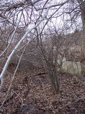
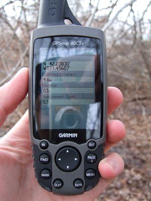
imported>SignalPAD (New page: {{meetup graticule | map=<map lat="42" lon="-71" date="2009-02-28" /> | lat=42 | lon=-71 | date=2009-02-28 }} 300px|The hash located in brush [[Image:2009-02-28...) |
imported>FippeBot m (Location) |
||
| (One intermediate revision by one other user not shown) | |||
| Line 18: | Line 18: | ||
==== 4:30 pm EST ==== | ==== 4:30 pm EST ==== | ||
[[User:SignalPAD]] | [[User:SignalPAD]] | ||
| + | |||
| + | [[Category:Expeditions]] | ||
| + | [[Category:Expeditions with photos]] | ||
| + | [[Category:Coordinates reached]] | ||
| + | {{location|US|MA|MI}} | ||
Latest revision as of 02:03, 8 August 2019
| Sat 28 Feb 2009 in 42,-71: 42.2382246, -71.4560588 geohashing.info google osm bing/os kml crox |
About
These coordinates were around Ashland aside a road. Had this been summer the nearby park would have been great as a meet up spot, alas it was cold and windy.
Expeditions
People who reached these coordinates:

