Difference between revisions of "2009-05-21 35 -78"
From Geohashing
imported>Ncbears m (burp II) |
imported>Jiml m (Fix sort ordeer) |
||
| Line 40: | Line 40: | ||
[[Category:Expeditions with photos]] | [[Category:Expeditions with photos]] | ||
[[Category:Coordinates reached]] | [[Category:Coordinates reached]] | ||
| − | [[Category:Geohashing_Day_achievement | + | [[Category:Geohashing_Day_achievement]] |
Revision as of 06:04, 23 May 2012
| Thu 21 May 2009 in 35,-78: 35.8587364, -78.5438145 geohashing.info google osm bing/os kml crox |
Participants
Eisen & Bear - NCBears
Geological Features
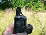
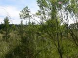
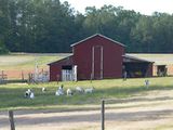
Rolling topography next to interstate highway I-540, northeast of Raleigh. In field.
Wildlife Encounters
None
Weather
Low 80°F/26°C, partly cloudy, wind 5mph/8kph
