2009-05-28 50 11
| Thu 28 May 2009 in 50,11: 50.9109198, 11.7966617 geohashing.info google osm bing/os kml crox |
Location
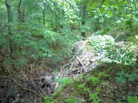
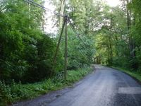
Today's geo hash was located in a forest near the road between Waldeck and Bobeck.
Expedition: Manu
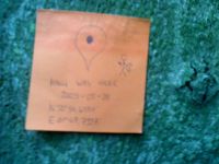
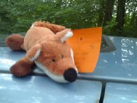
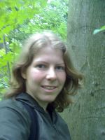
As I spent the evening before in Jena I thought the geohash would be easy to reach on my way to work in Leipzig in the morning. So I stood up half an hour earlier and until I parked my car on the side of the road only about 30 metres away from the hash point I even worried that it would be too easy! But this should not be the case. Immediately after entering the tight underbrush I stood at a very steep slope, which my GPS device told me to climb down. It was wet and muddy, but I tried to find a way down. When I finally made it within five metres to the hash point it began to drift away on the display due to the bad reception in the forest. I hurried to follow the signal climbing up the slope again, whereas I nearly lay down in the mud, until I reached the street again. Disappointed I reentered the forest, took some photos of me in the underbrush (unfortunately I forgot to bring my camera so I could only use my mobile phone and therefore photo quality is low), while the spot on the display was still wandering around me. Nevertheless I claim "coordinates reached". The note I brought with me to leave it for Reinhard like a few weeks ago I took back again, because I wasn't sure that he would find it in the evening. Furthermore I wanted to leave the shrubs quickly as I am always afraid of ticks - later I constantly thought something was crawling on my leg or neck, although I haven't found one yet. Did I mention that my shoes and trousers became very dirty - not really adequate for working in an office and cleanroom...
---Manu
Expedition: Reinhard
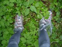
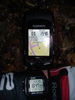
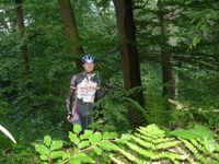
In the afternoon, while I was still at work, there were two heavy showers, which made me afraid that this one's going to become a Drowned Rat Geohash. But the weather got better and when I started from work at 6 pm even the sun was shining and many roads were dry, yet. After 19.4 km I arrived near the hashpoint at 6:42 pm, slipped plastic bags over my bike shoes and went into the copse. Quickly I got to the hashpoint, took some photos and got back to the bike.
I planned to take a small detour via Hermsdorf on my way back, but when I discovered that incredibly beautiful paved bike path through the Mühltal, which started in Bad Klosterlausnitz and lead to Kursdorf, I had to ride this one till the end, where I discovered another nice bike path going towards Gera, parallel to the major road B7. So this ended up in Gera, where I chose a road back to Hermsdorf that I hadn't tracked, yet, as well. After 102 km I was back at my working place at 10 pm to get my rucksack and ride the last 7 km home.
---Reinhard
- Photo Gallery
