Difference between revisions of "2009-06-07 -34 150"
From Geohashing
imported>FippeBot m (Location) |
m |
||
| Line 20: | Line 20: | ||
[[Image:2009-06-07 Five Islands.JPG]] | [[Image:2009-06-07 Five Islands.JPG]] | ||
| + | [[Category:Expeditions]] | ||
[[Category:Coordinates not reached]] | [[Category:Coordinates not reached]] | ||
[[Category:Not reached - Mother Nature]] | [[Category:Not reached - Mother Nature]] | ||
{{location|AU|NSW}} | {{location|AU|NSW}} | ||
Revision as of 12:14, 12 September 2021
| Sun 7 Jun 2009 in -34,150: -34.4552086, 150.9767424 geohashing.info google osm bing/os kml crox |
This hash falls in the Pacific Ocean close to Tomb Thumb Island, just off the coast from Wollongong.
It is located within the Wollongong graticule.
-34.455209°, 150.976742°
Map Reference: Official tool
Achievement
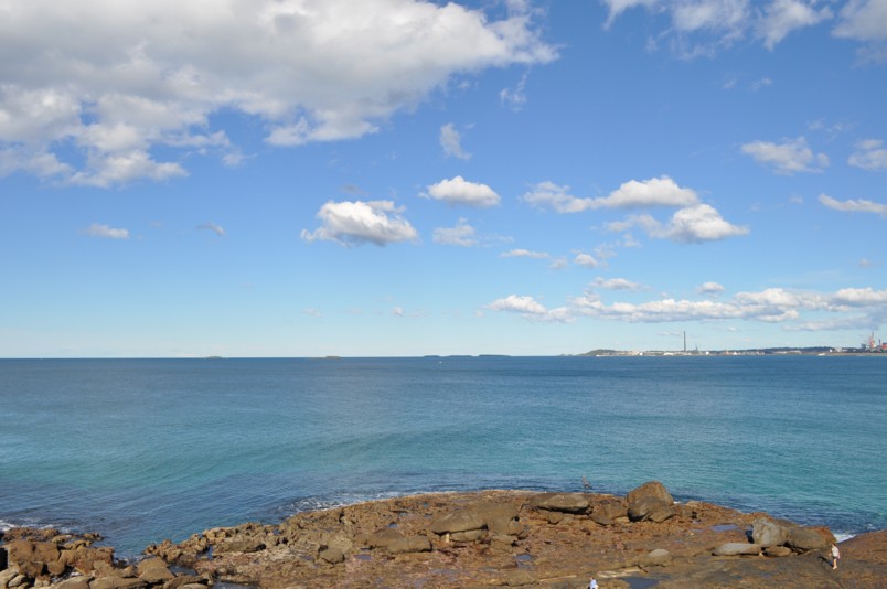
This hash was only accessible by boat. And although the surf was pretty tame today, I wasn't paddling a canoe out to sea for the sake of a hash. Instead took a photo of the location from the Wollongong lighthouse.
