Difference between revisions of "2009-06-19 50 -121"
imported>Rhonda (→Plans) |
imported>Rhonda (→Expedition) |
||
| Line 22: | Line 22: | ||
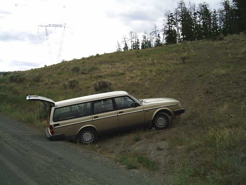
[[Image:2009-06-19 50 -121 stuck.jpg]] | [[Image:2009-06-19 50 -121 stuck.jpg]] | ||
| + | ===Driving=== | ||
| + | ===Oops=== | ||
| + | |||
| + | ===Hiking=== | ||
| + | |||
| + | ===Onward=== | ||
== Photos == | == Photos == | ||
Revision as of 04:57, 22 June 2009
| Fri 19 Jun 2009 in 50,-121: 50.8978579, -121.4387649 geohashing.info google osm bing/os kml crox |
Contents
Location
At the junction of Highways 99 and 97, 1km from a logging road near Hat Creek Ranch.
Participants
Plans
I was going from Vancouver to Timothy Lake (in the 100 Mile House graticule) for Father's Day weekend, via highways 99 and 97. How could I not try for this one?
The Veasy Lake Forest Service Road met highway 99 right about where I would have wanted to park, and gave me an opportunity to get the car off the highway while I was hiking, so I decided to go as close to the point as I could along that road. The terrain in that area is fairly open rangeland; treed but not dense, and the underbrush is similarly not dense. I didn't anticipate any major problems.
Expedition
Expedition report to come after I finish unpacking and have dinner. In the mean time, here is a photo of a lesson I learned on this expedition:
Driving
Oops
Hiking
Onward
Photos
- 2009-
Witty Comment
- 2009-
Witty Comment
