Difference between revisions of "2009-07-26 34 -84"
From Geohashing
imported>NWoodruff m (→Gallery) |
imported>NWoodruff m (→Gallery) |
||
| Line 32: | Line 32: | ||
Image:20090726_34_-84NW05.JPG| And it belongs to the Buford Trout Hatchery. Being after 4:30pm and Sunday. I don't think I am getting in there. I'll accept a No Trespassing Geohash. | Image:20090726_34_-84NW05.JPG| And it belongs to the Buford Trout Hatchery. Being after 4:30pm and Sunday. I don't think I am getting in there. I'll accept a No Trespassing Geohash. | ||
Image:20090726_34_-84NW06.JPG| | Image:20090726_34_-84NW06.JPG| | ||
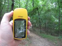
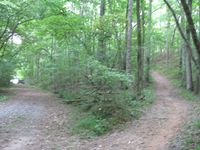
| − | Image:20090726_34_-84NW07.JPG| | + | Image:20090726_34_-84NW07.JPG| Hey! Wait a Sec... Is that a trail to go fishing? |
Image:20090726_34_-84NW08.JPG| | Image:20090726_34_-84NW08.JPG| | ||
Image:20090726_34_-84NW09.JPG| | Image:20090726_34_-84NW09.JPG| | ||
Revision as of 17:30, 13 August 2009
| Sun 26 Jul 2009 in Roswell: 34.1404944, -84.0894649 geohashing.info google osm bing/os kml crox |
Graticule
About
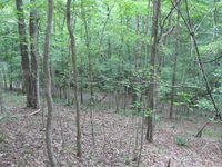
In some woods west of Woodstock.
People
Expeditions
Gallery
- Photo Gallery
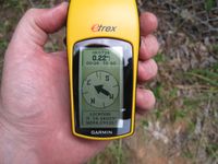
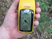
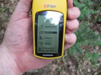
0.22 miles to go.
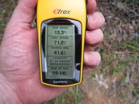
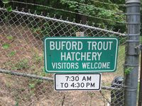
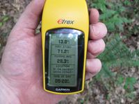
Time of the meetup.
Date of the meetup.
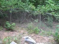
And a fence....
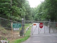
And it belongs to the Buford Trout Hatchery. Being after 4:30pm and Sunday. I don't think I am getting in there. I'll accept a No Trespassing Geohash.
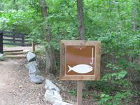
Hey! Wait a Sec... Is that a trail to go fishing?


Achievements
NWoodruff earned the Land geohash achievement
|