Difference between revisions of "2009-11-19 49 8"
From Geohashing
imported>Ilpadre (→Plans: not before, but _from_ work, as i'm currently at the office) |
imported>Ilpadre (done) |
||
| Line 20: | Line 20: | ||
<gallery> | <gallery> | ||
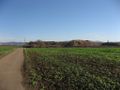
| + | Image:2009-11-19 49 8 dossenheim.jpg|Perfect weather for cycling | ||
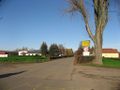
| + | Image:2009-11-19 49 8 neubotzheim.jpg | ||
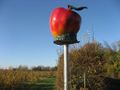
| + | Image:2009-11-19 49 8 apple.jpg | ||
| + | Image:2009-11-19 49 8 pacman.jpg | ||
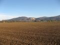
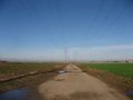
| + | Image:2009-11-19 49 8 fields.jpg | ||
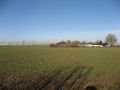
| + | Image:2009-11-19 49 8 coordinates.jpg|The hashpoint | ||
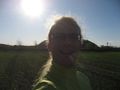
| + | Image:2009-11-19 49 8 stupidgrin.jpg|Obligatory | ||
| + | Image:2009-11-19 49 8 asphaltwerk.jpg | ||
</gallery> | </gallery> | ||
| − | [[Category: | + | [[Category:Expeditions]] |
| + | [[Category:Coordinates reached]] | ||
Revision as of 15:21, 19 November 2009
| Thu 19 Nov 2009 in 49,8: 49.4936411, 8.5810475 geohashing.info google osm bing/os kml crox |
Contents
Location
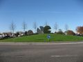
50 m into a field (aerial picture) near Ladenburg and Heddesheim.
Participants
Plans
I (ilpadre) will go there by bike.
Expedition
Perfect weather for cycling
The hashpoint
Obligatory