Difference between revisions of "2010-01-31 42 -88"
imported>Mrmoses (added pictures and tracklog) |
imported>Mrmoses (added another tracklog screenshot, put tracklog below pictures, added expedition explanation, updated categories) |
||
| Line 25: | Line 25: | ||
== Expedition == | == Expedition == | ||
| + | I knew I might not have time later in the day, so I headed for the hashpoint right after church (around noon). I saw a hawk on the way there, but other than that, nothing too exciting for the trip there. I thought that I would be able to drive right up to the hashpoint and just hop out of the car real quick, but the path that it was on had a sign saying no motor vehicles. | ||
| + | Looking at the satellite map, it looked like there was a huge parking lot close to the trail, but it was actually a junk yard. There was however, a parking lot for a restaurant just north of the junk yard, so I parked there and walked down the street a little ways to get to the path. | ||
| − | + | The trail was pretty cool. I'm pretty sure it was cemented underneath all the snow and ice. It was so bright out I could barely see the screen on my phone. It made it hard to see where I was or where the hashpoint was (and hard to take pictures). I noticed a fence through the trees off the path and was hoping the hashpoint wasn't on the other side (it wasn't). There were also a few areas in the trees that were really thick and I was hoping the hashpoint wasn't in an area like that (it wasn't). | |
| − | + | ||
| − | + | I got to the hashpoint, took and picture of my phone (with my other phone) and took a video, then headed back. On the way back I think I heard a hawk, but never saw it. I took a video of the sun shining through the tress as I walked back, just for fun. And when I got close to the road, I had some fun sliding on the ice (with another video). When I started driving back I saw another (or possibly the same one) hawk flying right over where the hashpoint was. | |
| − | |||
| + | That's pretty much it. It was my first solo geohash. I didn't build a snowman or write any notes or anything. On my way home I passed an old lady with a flat tire and asked if she needed help. She said a tow truck was already on the way, and I told her it wouldn't cost her anything if she wanted me to put the spare on, but she was rejecting any assistance so I left. | ||
== Photos == | == Photos == | ||
| Line 50: | Line 52: | ||
Image:2010-01-31 42 -88 junk yard fence.jpg|junk yard fence | Image:2010-01-31 42 -88 junk yard fence.jpg|junk yard fence | ||
Image:2010-01-31 42 -88 frozen.jpg|frozen near the junkyard fence | Image:2010-01-31 42 -88 frozen.jpg|frozen near the junkyard fence | ||
| + | Image:2010-01-31 42 -88 nature jeans.jpg|some nature stuck to my pants | ||
</gallery> | </gallery> | ||
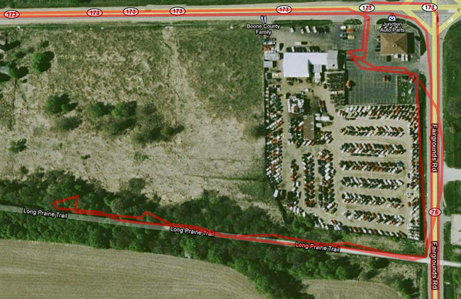
| − | + | == [http://maps.google.com/maps/ms?ie=UTF8&hl=en&msa=0&msid=109316342448012701002.00047e7b8b1c7dac7ac80&t=h&z=12 Tracklog]== | |
| + | Here is a screenshot of the tracklog near the hashpoint. I came from the west, turned south, went past the path, came back north, parked in the restaurant parking lot, walked south to the path, took path to hashpoint, then back to my car, and home. Click the image to view the full track log. | ||
| + | [[File:2010-01-31 42 -88 Tracklog screenshot.png|left|650px|link=http://maps.google.com/maps/ms?ie=UTF8&hl=en&msa=0&msid=109316342448012701002.00047e7b8b1c7dac7ac80&t=h&z=12]] | ||
| + | <br style="clear: both;" /> | ||
| + | And here is a screenshot of where I turned around to help the old lady with a flat tire. She was at the intersection (the yellow wrench). I was heading south, through the intersection, turned around and headed north, asked if she needed help, then went north and turned around again and continued on my way heading south again. Fun times. | ||
| + | [[File:2010-01-31 42 -88 Help old lady tracklog screenshot.png|left|650px|link=http://maps.google.com/maps/ms?ie=UTF8&hl=en&msa=0&msid=109316342448012701002.00047e7b8b1c7dac7ac80&t=h&z=12]] | ||
| + | |||
| + | |||
[[Category:New report]] | [[Category:New report]] | ||
| − | + | [[Category:Expeditions]] | |
| − | + | [[Category:Coordinates reached]] | |
| − | |||
| − | [[Category: | ||
| − | |||
| − | |||
| − | [[Category: | ||
| − | |||
[[Category:Expeditions with photos]] | [[Category:Expeditions with photos]] | ||
[[Category:Expeditions with videos]] | [[Category:Expeditions with videos]] | ||
| − | |||
| − | |||
| − | |||
| − | |||
| − | |||
| − | |||
| − | |||
| − | |||
| − | |||
| − | |||
| − | |||
| − | |||
| − | |||
| − | |||
| − | |||
Revision as of 02:18, 1 February 2010
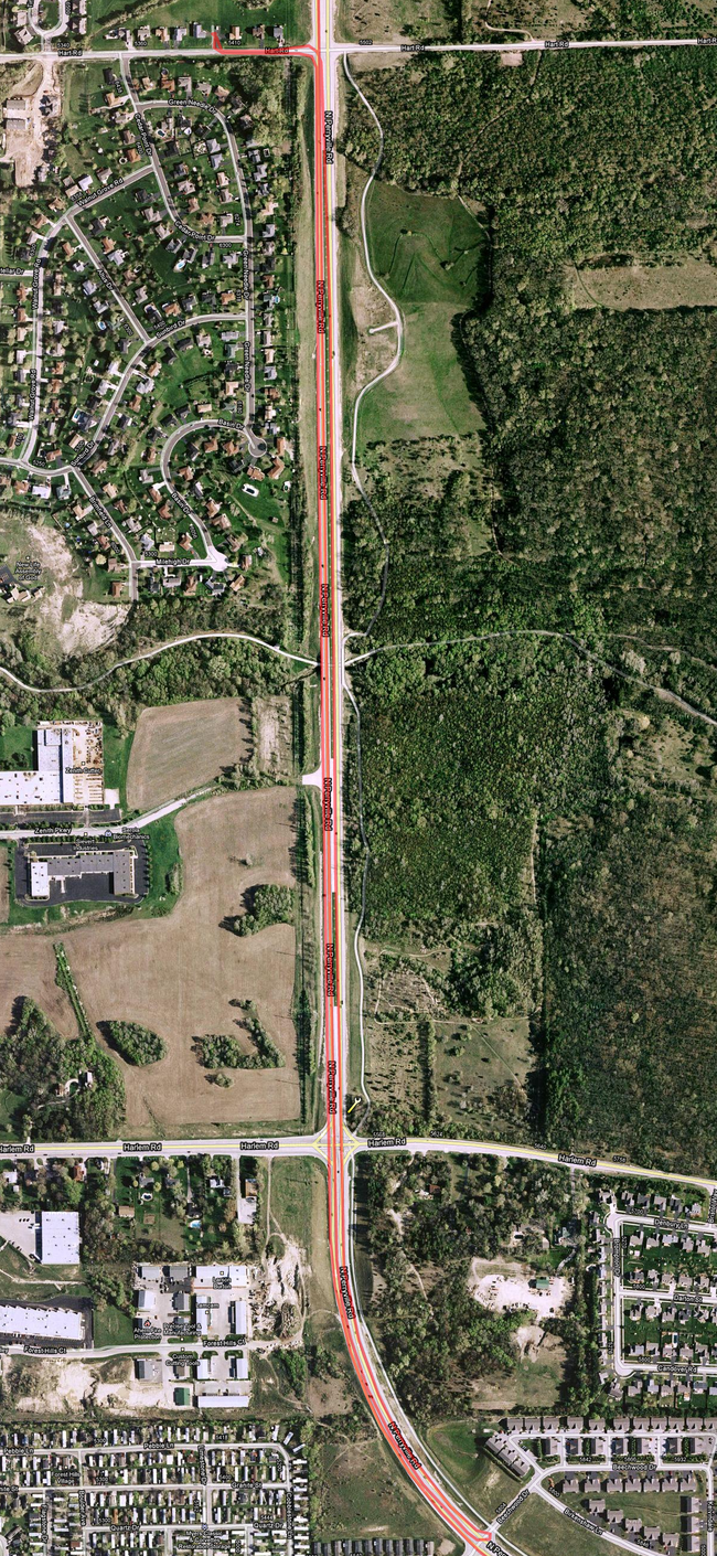
| Sun 31 Jan 2010 in 42,-88: 42.3697908, -88.8551778 geohashing.info google osm bing/os kml crox |
Location
In the middle of some trees off of a prairie trail going through some cornfields.
Participants
Plans
Go to the hashpoint sometime in the afternoon.
Expedition
I knew I might not have time later in the day, so I headed for the hashpoint right after church (around noon). I saw a hawk on the way there, but other than that, nothing too exciting for the trip there. I thought that I would be able to drive right up to the hashpoint and just hop out of the car real quick, but the path that it was on had a sign saying no motor vehicles.
Looking at the satellite map, it looked like there was a huge parking lot close to the trail, but it was actually a junk yard. There was however, a parking lot for a restaurant just north of the junk yard, so I parked there and walked down the street a little ways to get to the path.
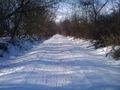
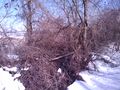
The trail was pretty cool. I'm pretty sure it was cemented underneath all the snow and ice. It was so bright out I could barely see the screen on my phone. It made it hard to see where I was or where the hashpoint was (and hard to take pictures). I noticed a fence through the trees off the path and was hoping the hashpoint wasn't on the other side (it wasn't). There were also a few areas in the trees that were really thick and I was hoping the hashpoint wasn't in an area like that (it wasn't).
I got to the hashpoint, took and picture of my phone (with my other phone) and took a video, then headed back. On the way back I think I heard a hawk, but never saw it. I took a video of the sun shining through the tress as I walked back, just for fun. And when I got close to the road, I had some fun sliding on the ice (with another video). When I started driving back I saw another (or possibly the same one) hawk flying right over where the hashpoint was.
That's pretty much it. It was my first solo geohash. I didn't build a snowman or write any notes or anything. On my way home I passed an old lady with a flat tire and asked if she needed help. She said a tow truck was already on the way, and I told her it wouldn't cost her anything if she wanted me to put the spare on, but she was rejecting any assistance so I left.
Photos
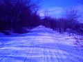
the path i took to the hashpoint
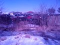
junk yard along the path
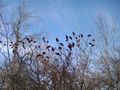
bike tracks, shoe traks, and dog tracks (i think maybe somebody was chasing their dog because their dog was chasing someone on a bike?)
path again (from the inside!!)
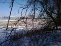
in the distance is a tower of crushed cars in the junk yard
im glad the hashpoint wasn't in there
at the hashpoint
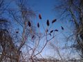
flowers in the winter
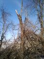
a tree post
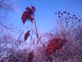
close up of wintery flowers
lots of wintery flowers
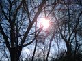
the sun through the trees
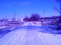
the path back to the road (you can see the ice that I slide on in the video)
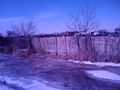
junk yard fence
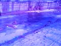
frozen near the junkyard fence
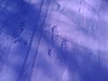
some nature stuck to my pants


Tracklog
Here is a screenshot of the tracklog near the hashpoint. I came from the west, turned south, went past the path, came back north, parked in the restaurant parking lot, walked south to the path, took path to hashpoint, then back to my car, and home. Click the image to view the full track log.
And here is a screenshot of where I turned around to help the old lady with a flat tire. She was at the intersection (the yellow wrench). I was heading south, through the intersection, turned around and headed north, asked if she needed help, then went north and turned around again and continued on my way heading south again. Fun times.