Difference between revisions of "2010-02-11 50 11"
imported>Reinhard m (→Expedition: Reinhard) |
imported>Reinhard m (→Expedition: Reinhard) |
||
| Line 21: | Line 21: | ||
* took further pictures | * took further pictures | ||
* was delighted by the good (handheld!) photos of the dark surroundings | * was delighted by the good (handheld!) photos of the dark surroundings | ||
| − | * wasn't able to push the tiny camera's small buttons properly with frozen, | + | * wasn't able to push the tiny camera's small buttons properly with frozen, numb fingers in the dark |
* went back through the field | * went back through the field | ||
* successfully climbed the slope without getting pierced into my eyes by branches (thanks to the bike goggles) | * successfully climbed the slope without getting pierced into my eyes by branches (thanks to the bike goggles) | ||
Revision as of 01:20, 12 February 2010
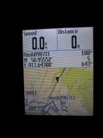
| Thu 11 Feb 2010 in 50,11: 50.9651899, 11.6406107 geohashing.info google osm bing/os kml crox |
Expedition: Reinhard
This hashpoint was so close to my working space (2.4 km air distance) that I couldn't miss it! Since I wanted to take care of some things in the city (Jena) after work, I planned to take the bike from home to work. When I got out of the house in the morning, I realized that it had snowed much in the night and that I couldn't ride the bike properly due to the not cleared roads. So I decided to put my bike in the car instead and drive to work. A lot more of snow fell during the day, but it should be possible to ride some km into the city and also to the hashpoint. Temperature was around -4°C, which felt very cold in the humid air. I handled my issues in the city ...
DAMN! I just clicked the back button of my computer mouse (not having more than this in the cache), so don't be surprised, if the rest of this story is reading worse.
- passed my working place by 500 m
- in Kunitz decided in favor of staying on the road instead of taking an easy field path directly going to the hashpoint (1.1 km)
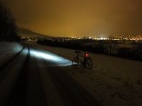
- left the bike at the road, where it was closer to the hashpoint
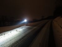
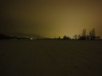
- took photos with my new camera
- walked through a field
- crossed a dense and steep (veeeery steep) band of bushes and trees by jumping from tree to tree (not standing on them, but grabbing them to avoid sliding down the slope)
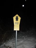
- saw a sign (protected landscape) which forbids to leave paths (too late for me, I guess!)
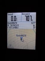
- walked to the hash using snow-covered field path and crossing the field
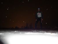
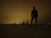
- took further pictures
- was delighted by the good (handheld!) photos of the dark surroundings
- wasn't able to push the tiny camera's small buttons properly with frozen, numb fingers in the dark
- went back through the field
- successfully climbed the slope without getting pierced into my eyes by branches (thanks to the bike goggles)
- rode back to work, where my car waited for me to bring me home
- total bike distance (including city trip): 15 km
- total walking distance: 1.3 km
- Lessons learned: make a backup copy of your work after EVERY sentence!
|
