Difference between revisions of "2010-12-18 48 8"
From Geohashing
imported>Ekorren (Been there.) |
imported>Ekorren (→Gallery) |
||
| Line 22: | Line 22: | ||
<gallery> | <gallery> | ||
| + | File:2010-12-18_48_8_Road_1.JPG|This way up | ||
| + | File:2010-12-18_48_8_Stairs.JPG|Not this way. Note the icicles. | ||
| + | File:2010-12-18_48_8_Road_2.JPG|To Neustetten this way (Bicyclists better ignore the small signs) | ||
| + | File:2010-12-18_48_8_Hashfield_1.JPG|The hash is out there | ||
| + | File:2010-12-18_48_8_Hashfield_2.JPG|There, actually | ||
| + | File:2010-12-18_48_8_GPS.JPG|Coordinates reached | ||
| + | File:2010-12-18_48_8_Trees.JPG|View back to hash village | ||
| + | File:2010-12-18_48_8_Remmingsheim_Church.JPG|Church of hash village | ||
| + | File:2010-12-18_48_8_OldSign.JPG|Old road sign, giving name of the village and directions to Rottenburg | ||
| + | File:2010-12-18_48_8_Road_3.JPG|Back through the even duller | ||
| + | File:2010-12-18_48_8_Sunset.JPG|Almost home | ||
</gallery> | </gallery> | ||
Revision as of 18:38, 18 December 2010
| Mon 29 Nov 2010 in 48,8: 48.4797586, 8.9586648 geohashing.info google osm bing/os kml crox |
Contents
Location
A field near Neustetten-Remmingsheim
Participants
Expedition
Been there by bike. It was cold.
(better report might be done later)
Gallery
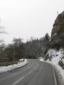
This way up
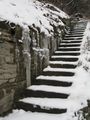
Not this way. Note the icicles.
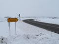
To Neustetten this way (Bicyclists better ignore the small signs)
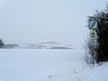
The hash is out there
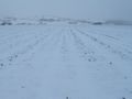
There, actually
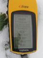
Coordinates reached
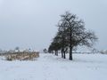
View back to hash village
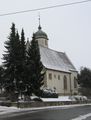
Church of hash village
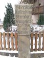
Old road sign, giving name of the village and directions to Rottenburg
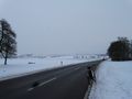
Back through the even duller
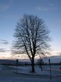
Almost home


