Difference between revisions of "2011-02-27 47 16"
From Geohashing
imported>Atadxart (→Photos) |
imported>Atadxart (→Photos) |
||
| Line 40: | Line 40: | ||
Image:2011-02-27 14.03.14.jpg | Image:2011-02-27 14.03.14.jpg | ||
Image:2011-02-27 14.03.22.jpg | Image:2011-02-27 14.03.22.jpg | ||
| − | 2011-02-27 14.03.26.jpg | + | Image:2011-02-27 14.03.26.jpg |
| − | 2011-02-27 14.03.31.jpg | + | Image:2011-02-27 14.03.31.jpg |
| − | 2011-02-27 14.03.35.jpg | + | Image:2011-02-27 14.03.35.jpg |
| − | 2011-02-27 14.03.40.jpg | + | Image:2011-02-27 14.03.40.jpg |
| − | 2011-02-27 14.03.45.jpg | + | Image:2011-02-27 14.03.45.jpg |
| − | 2011-02-27 14.03.48.jpg | + | Image:2011-02-27 14.03.48.jpg |
</gallery> | </gallery> | ||
Revision as of 16:31, 28 February 2011
[[Image:|thumb|left]]
| Sun 27 Feb 2011 in 47,16: 47.9414751, 16.1634574 geohashing.info google osm bing/os kml crox |
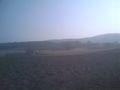
Location
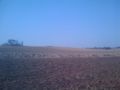
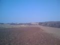
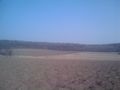
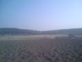
Near Berndorf in St. Veit an der Triesting a few 100 meters
A field with frozen cow crap
Participants
Plans
Unknown.
Expedition
I, Atadxart was driving from Villach to Vienna on the highway and at a stop I checked the graticule and the geohash was only about 3 km from the highway away so I stopped by and like on my first hash no one was there
I arrived 13:40 and left at 14:15
i had a PMR radio with me but no one anwsered my calls
there were some dog-trainers there on a neigbored field
Tracklog
Photos

- 2011-02-27 14.03.48.jpg


Achievements
atadxart earned the Land geohash achievement
|