Difference between revisions of "2011-06-12 45 7"
From Geohashing
imported>Crox (planning -> reached) |
imported>Crox (→Photos) |
||
| Line 48: | Line 48: | ||
== Photos == | == Photos == | ||
| + | {{#vardefine:gaLines|3}} | ||
| + | {{#vardefine:gaWidth|250}} | ||
| + | {{#vardefine:gaHeight|230}} | ||
| + | {{Gallery2| | ||
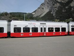
| + | {{GalleryItem | File:2011-06-12_45_7_01-train-IMG_1004.JPG | }} | ||
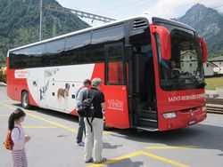
| + | {{GalleryItem | File:2011-06-12_45_7_02-bus-IMG_1005.JPG | }} | ||
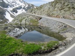
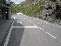
| + | {{GalleryItem | File:2011-06-12_45_7_03-road-IMG_1011.JPG | }} | ||
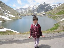
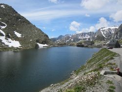
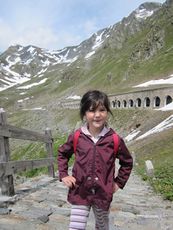
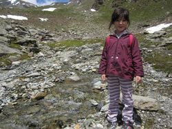
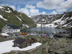
| + | {{GalleryItem | File:2011-06-12_45_7_04-elisa-lake-IMG_1012.JPG | }} | ||
| + | {{GalleryItem | File:2011-06-12_45_7_05-lake-IMG_1013.JPG | }} | ||
| + | {{GalleryItem | File:2011-06-12_45_7_06-stop-IMG_1015.JPG | }} | ||
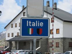
| + | {{GalleryItem | File:2011-06-12_45_7_07-italy-sign-IMG_1016.JPG | }} | ||
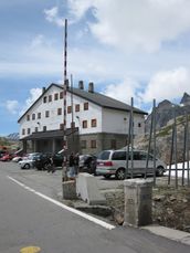
| + | {{GalleryItem | File:2011-06-12_45_7_08-border-IMG_1017.JPG | }} | ||
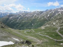
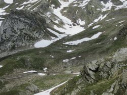
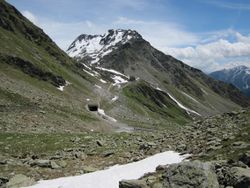
| + | {{GalleryItem | File:2011-06-12_45_7_09-view-IMG_1023.JPG | }} | ||
| + | {{GalleryItem | File:2011-06-12_45_7_10-towards-hash-IMG_1025.JPG | }} | ||
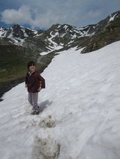
| + | {{GalleryItem | File:2011-06-12_45_7_11-snow-IMG_1028.JPG | }} | ||
| + | {{GalleryItem | File:2011-06-12_45_7_12-getting-closer-IMG_1031.JPG | }} | ||
| + | {{GalleryItem | File:2011-06-12_45_7_13-water-IMG_1035.JPG | }} | ||
| + | {{GalleryItem | File:2011-06-12_45_7_14-reached1-IMG_1044.JPG | }} | ||
| + | {{GalleryItem | File:2011-06-12_45_7_15-reached2-IMG_1045.JPG | }} | ||
| + | {{GalleryItem | File:2011-06-12_45_7_16-marker-IMG_1050.JPG | }} | ||
| + | {{GalleryItem | File:2011-06-12_45_7_17-back-IMG_1048.JPG | }} | ||
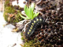
| + | {{GalleryItem | File:2011-06-12_45_7_18-fauna-IMG_1038.JPG | }} | ||
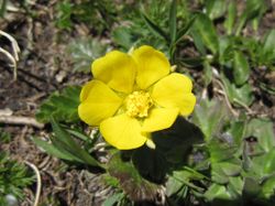
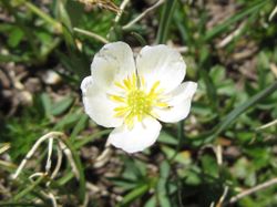
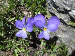
| + | {{GalleryItem | File:2011-06-12_45_7_18-flora1-IMG_1053.JPG | }} | ||
| + | {{GalleryItem | File:2011-06-12_45_7_18-flora2-IMG_1054.JPG | }} | ||
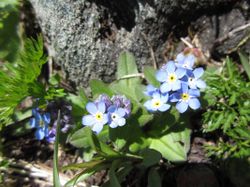
| + | {{GalleryItem | File:2011-06-12_45_7_18-flora3-IMG_1055.JPG | }} | ||
| + | {{GalleryItem | File:2011-06-12_45_7_18-flora4-IMG_1058.JPG | }} | ||
| + | {{GalleryItem | File:2011-06-12_45_7_19-hospice-IMG_1061.JPG | }} | ||
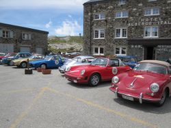
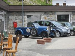
| + | {{GalleryItem | File:2011-06-12_45_7_20-cars1-IMG_1019.JPG | }} | ||
| + | {{GalleryItem | File:2011-06-12_45_7_20-cars2-IMG_1020.JPG | }} | ||
| + | }} | ||
== Achievements == | == Achievements == | ||
Revision as of 22:23, 20 June 2011
| Sun 12 Jun 2011 in 45,7: 45.8714787, 7.1557682 geohashing.info google osm bing/os kml crox |
Location
Italian side of Great St Bernard Pass, about 2500 m above sea level
Participants
Plans
Timetable
Martigny 		dép. 	11:30 	50 	R 26116
Sembrancher 	  	arr. 	11:46

Sembrancher 		dép. 	11:47 		R 26166
Orsières 	  	arr. 	11:56

Orsières, gare 		dép. 	12:00 		BUS 2126
Le Grand-St-Bernard 	arr. 	12:50
(there is another connection arriving at 14:40 but we plan to take the first one to have more time to spend on site)
Le Grand-St-Bernard 	dép. 	16:20 		BUS 2131
Orsières, gare 	 	arr. 	17:10

Orsières 		dép. 	17:22 		R 26181
Sembrancher 	  	arr. 	17:30

Sembrancher 		dép. 	17:31 		R 26131
Martigny 	  	arr. 	17:48 	50
Weather
visit
Great St Bernard Hospice, museum and Via Francigena temporary exhibition
Expedition
Photos
|
|
