Difference between revisions of "2011-08-29 44 -106"
From Geohashing
imported>Tankgunk (Working on it...) |
imported>Tankgunk m (Broke it >.<) |
||
| Line 1: | Line 1: | ||
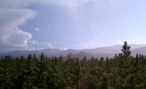
| − | [[Image:{{{image| | + | [[Image:{{{image|2011-08-29_44_-106_babytrees.jpg}}}|thumb|left]] |
{{meetup graticule | {{meetup graticule | ||
Revision as of 07:47, 30 August 2011
| Mon 29 Aug 2011 in 44,-106: 44.3297455, -106.9905078 geohashing.info google osm bing/os kml crox |
Location
One mile off the road, a quarter mile off the trail, down on the side of a somewhat steep hill.
Participants
- tankgunk
- his sister.
Plans
Drove down to Buffalo and into the forest, left Sheridan a bit after 3:30pm.
Expedition
Drove to the trail head and went on a ~1 mile hike to the point. More hiking than I generally appreciate, but pretty straightforward. Forgot the actual camera, so I was using my phone as a camera and GPS. Sigh.
Achievements
tankgunk earned the Land geohash achievement
|
