Difference between revisions of "2012-06-10 28 -82"
imported>DrCanadianNinja m (→The Adventure) |
m |
||
| (One intermediate revision by one other user not shown) | |||
| Line 15: | Line 15: | ||
=== The Geohashers === | === The Geohashers === | ||
| − | * [[user: | + | * [[user:Geoffistopheles|Geoff]] |
* [[user:NinjaBait|Erica]] | * [[user:NinjaBait|Erica]] | ||
* [[user:PopeFlactemI|Pope Flactem I]] | * [[user:PopeFlactemI|Pope Flactem I]] | ||
| Line 56: | Line 56: | ||
[[Category:Expeditions with photos]] | [[Category:Expeditions with photos]] | ||
[[Category:Coordinates reached]] | [[Category:Coordinates reached]] | ||
| + | {{location|US|FL|PI}} | ||
Latest revision as of 16:59, 24 March 2021
| Have you seen our geohashing marker? We'd love to hear from you! Click here to say "hi" and tell us what you've seen!
Curious about what geohashing is? Read more! |
| Sun 10 Jun 2012 in Palm Harbor, Florida: 28.0537277, -82.7302875 geohashing.info google osm bing/os kml crox |
Expedition
The Plan
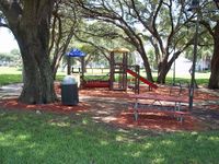
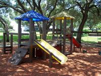
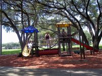
In a subdivision playground off US 19, three miles away. Going to be in town for the weekend, might as well hit this geohash while I have the chance.
The Geohashers
The Adventure
We were going to walk to this one. Thankfully, sane minds prevailed on this one, noting that Palm Harbor is a terrible place to be out walking in the Florida heat at 1 PM with little shade and no breeze. Instead of that, we decided to simply drive over. As soon as we stepped outside just to get to the car, I realized what a stupid move that would've been.
The playground was maybe five, seven minutes away, and the only order of difficulty was getting our bearings straight. The GPS wasn't following anything remotely resembling compass directions or natural physics, then it got camera shy and wouldn't show up for a picture. We got the best we could.
The gallery and the captions below say far more about the adventure than I could.
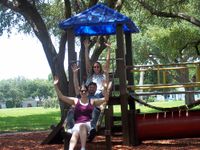
Gallery
- Photo Gallery
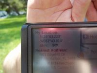
The GPS wasn't behaving, but we decidedly got it.

Victory!
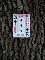
3♠
That's the marker on the tree.
From when the GPS wasn't behaving. It says "Acquiring Satellites."
Hang in there! </demotivational>

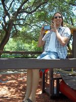
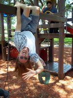
I hope no one's watching...
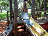
WHEEEEEEEEEEEEEEEEEEEEEEEEE
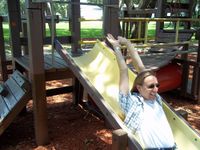
EEEEEEEEEEEEEEEEEEEEEEEEEEE
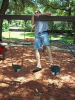
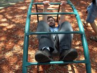
Tragedy struck as he attempted to experience fun again.
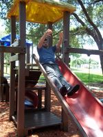
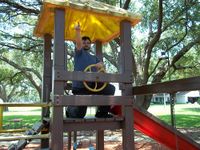
Geoff attempted that level of fun.
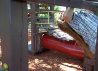
Geoff drove this thing the entire way.
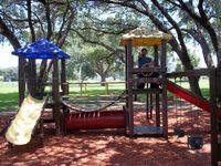
Geohash ahoy! ...no seriously it's behind you don't zoom in turn around
Damn kids!
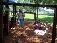

There was a bully at the playground. Unfortunately, we brought him.
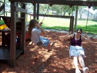
From right to left: Captain Morgan before, during, and after the bar.
Now we're all after the bar.

And the neighbors were certainly watching.


