Difference between revisions of "2012-08-23 50 10"
From Geohashing
imported>Reinhard (create) |
imported>Reinhard (photos) |
||
| Line 16: | Line 16: | ||
== Photos == | == Photos == | ||
| − | {{gallery|width=200|height=200|lines= | + | {{gallery|width=200|height=200|lines=2 |
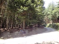
| − | |Image:20120823-50N10E-01.jpg|. | + | |Image:20120823-50N10E-01.jpg|Where the road ends. |
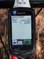
| + | |Image:20120823-50N10E-02.jpg|Coordinates reached. | ||
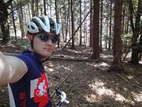
| + | |Image:20120823-50N10E-03.jpg|At the hash. | ||
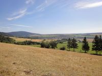
| + | |Image:20120823-50N10E-04.jpg|View towards Bleßberg and Sachsenbrunn. | ||
}} | }} | ||
Revision as of 13:37, 23 August 2012
| Thu 23 Aug 2012 in 50,10: 50.4596090, 10.9264741 geohashing.info google osm bing/os kml crox |
Location
In a forest close to a small road near Hirschendorf (Thuringia).
Participants
Expedition
Photos
|


