Difference between revisions of "2014-04-13 49 8"
imported>DODO (→Achievements) |
imported>FippeBot m (Location) |
||
| (One intermediate revision by one other user not shown) | |||
| Line 66: | Line 66: | ||
| − | + | ||
[[Category:Expeditions]] | [[Category:Expeditions]] | ||
[[Category:Expeditions with photos]] | [[Category:Expeditions with photos]] | ||
[[Category:Coordinates reached]] | [[Category:Coordinates reached]] | ||
| + | {{location|DE|BW|KA}} | ||
Latest revision as of 06:10, 14 August 2019
| Sun 13 Apr 2014 in 49,8: 49.1709859, 8.8159831 geohashing.info google osm bing/os kml crox |
Location
In the woods near Elsenz/Eppingen
Participants
Plans
The original plan was to drive by car close to the woods of Elsenz, and then to walk to the final localation.
Expedition
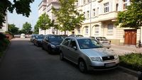
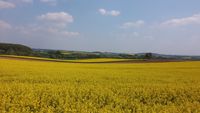
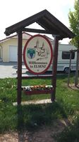
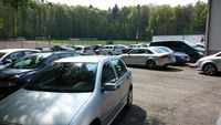
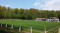
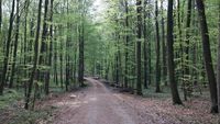
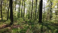
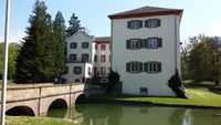
I startet by walking to my car which is parked in Heidelberg at about 12:22. Then I drove about 40 minutes to the village of Elsenz, which is located in the urban district of Heilbronn. On my way to the village I passed the township Angelbachtach and its very nice water castle [1]. I decided that I will do a stop there on my way back, looking for some geocaches nearby. As I arrived at the border of the woods of Elsenz, I got the chance to watch a soccer match between FC Elsenz and some other soccer club. However, since I am not interested in soccer at all, I passed :) The final location was only about 600 meters away from my parking spot and was quite accessible, even though I had to leave the track several times. On my way to the final location, I noticed that there is a nature trail nearby which teaches you some interesting facts about domestic birds. Finally, I found the final location at about 14:04. However, the GPS-signal was so bad that it was impossible to get closer to the location than about 8.5 meters.
Tracklog
Photos
|
