2015-04-12 48 16
Location

This hash was located in Bruck/Leitha in Burgenland, the southern part of our beloved 48-16 graticule.
Participants
Plans
This hashpoint looked quite easy in theory, but practically it was unreachable. But more of that later.
Expedition
We left from the Hainfeld hashpoint, and wanted to get right back up on the motorway. Unfortunately the satnav played tricks on us, which lead us to driving in the wrong direction for half an hour. Again the usual banter in the car, which led Micsnare to fall asleep on the way there. This hash turned out to be a tricky one, it took us a while to get to the closest point reachable by car, since the hash was somewhere in a meadow next to a river. However, after a while we found a feasible spot, and were almost too sure that we would finally lock-in another successful hash. Unfortunately the meadow was soaking wet, even though we had our hashboots strapped on. We were sinking in a mix of water and mud, which led us to abort the hash-mission as it was impossible for us to reach it. The boys finally tried a different approach through a forest, but without avail. :( We were quite disappointed as it looked super easy on google maps!
Tracklog
Photos
- Photo Gallery

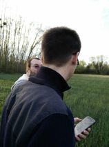
Micsnare before falling asleep.
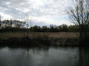
Somewhere over a river....
Hashxperts discussing the hash
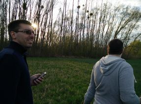
God damnit, where is it??!
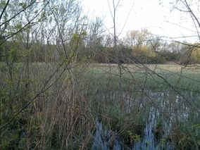
The closest we've got.
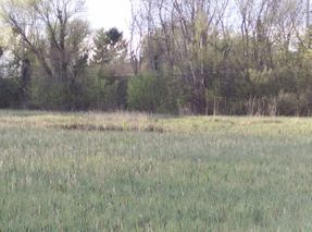
This picture doesn't show the difficulty
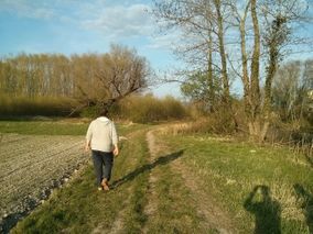
Crankl en route to the hash
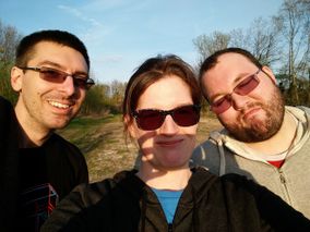
Sunny hashers...
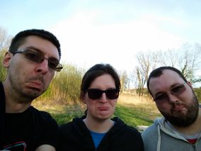
Disappointed hashers :'(
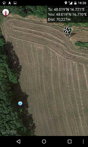
Proof.
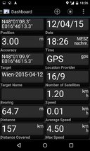
More Proof.


Achievements
Template:Mnb geohash Template:Mnb geohash Template:Mnb geohash