Difference between revisions of "2015-05-17 50 10"
From Geohashing
imported>Reinhard (→Photos Reinhard) |
imported>FippeBot m (Location) |
||
| (One intermediate revision by one other user not shown) | |||
| Line 14: | Line 14: | ||
== Expedition == | == Expedition == | ||
| − | + | Went on a short, but scenic ride (52 km) to get to this easily reachable hashpoint, just some meters from the road on a meadow. When I returned to the road a suspicious young woman parked a car next to the road and slowly went into my direction. As I found it extremely unlikely to meet an unknown geohasher here I didn't talk to her and just watched her stopping on the path, where she would have to enter the meadow. Still not sure, whether she was a geohasher or a bewildered girl. | |
== Tracklog Reinhard == | == Tracklog Reinhard == | ||
| Line 32: | Line 32: | ||
[[Category:Expeditions with photos]] | [[Category:Expeditions with photos]] | ||
[[Category:Coordinates reached]] | [[Category:Coordinates reached]] | ||
| + | {{location|DE|TH|HBN}} | ||
Latest revision as of 03:39, 15 August 2019
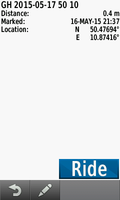
| Sun 17 May 2015 in 50,10: 50.4769379, 10.8741651 geohashing.info google osm bing/os kml crox |
Location
The hash is on a meadow close to the pass between Biberau and Oberwind.
Participants
Expedition
Went on a short, but scenic ride (52 km) to get to this easily reachable hashpoint, just some meters from the road on a meadow. When I returned to the road a suspicious young woman parked a car next to the road and slowly went into my direction. As I found it extremely unlikely to meet an unknown geohasher here I didn't talk to her and just watched her stopping on the path, where she would have to enter the meadow. Still not sure, whether she was a geohasher or a bewildered girl.
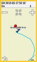
Tracklog Reinhard
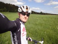
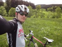
Photos Reinhard
|


