2017-03-11 51 11
From Geohashing
Revision as of 18:43, 11 March 2017 by imported>Jens (Created page with "{{meetup graticule | lat=51 | lon=11 | date=2017-03-11 }} __NOTOC__ == Location == In a forest near Wichmar == Participants == * Jens and Räbe == Expedition...")
| Sat 11 Mar 2017 in 51,11: 51.0352229, 11.6818387 geohashing.info google osm bing/os kml crox |
Location
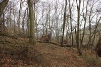
In a forest near Wichmar
Participants
- Jens and Räbe
Expedition
My first hash tour this year. No need to say that going there was Juja's idea. I tried a new kind of excuse. Because it's Lent at the moment I invented Hash point fasting. But it has not really been accepted.
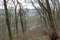
Well, but it was Saturday and I had time, the weather was fine, the distance not to long. So I didn't stand on my new kind of fasting, saddled my bike and cycled to the point, located just some meters beside the Saale-cycleway. Of course these “some meters” led straight up a hill, but everything else would have been a surprise.
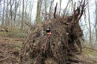
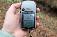
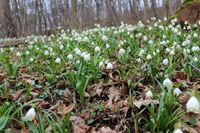
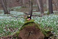
The hash point was marked by the root of a fallen tree, so it was easy to find in an ocean of spring snowflakes. I took some photos and went home again.
Photos
|
