Difference between revisions of "2024-04-05 47 8"
Globescorer (talk | contribs) (→Photos) |
(Categories) |
||
| (One intermediate revision by one other user not shown) | |||
| Line 28: | Line 28: | ||
== Photos == | == Photos == | ||
<gallery mode="packed" heights="250px"> | <gallery mode="packed" heights="250px"> | ||
| − | File:2024-04-05 47 8 Schützenhaus.jpg | + | File:2024-04-05 47 8 Schützenhaus.jpg |Parking lot: Schützenhaus |
| − | File:2024-04-05 47 8 in this direction.jpg | + | File:2024-04-05 47 8 in this direction.jpg |geohash in this direction... |
| − | File:2024-04-05 47 8 Way to go 1.jpg | + | File:2024-04-05 47 8 Way to go 1.jpg |Way to go 1 |
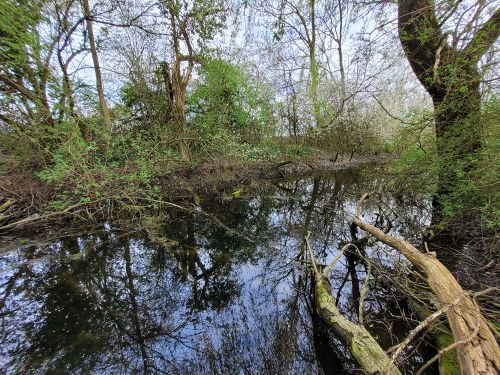
| − | File:2024-04-05 47 8 bridge.jpg | + | File:2024-04-05 47 8 bridge.jpg |strange old bridge |
| − | File:2024-04-05 47 8 Way to go 2.jpg | + | File:2024-04-05 47 8 Way to go 2.jpg |Way to go 2 |
| − | File:2024-04-05 47 8 Way to go 3.jpg | + | File:2024-04-05 47 8 Way to go 3.jpg |way to go 3 |
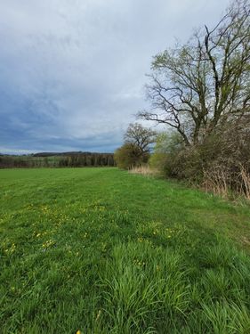
| − | File:2024-04-05 47 8 The Pond.jpg | + | File:2024-04-05 47 8 The Pond.jpg |the pond |
| − | File:2024-04-05 47 8 Way to go 4.jpg | + | File:2024-04-05 47 8 Way to go 4.jpg |way to go 4 |
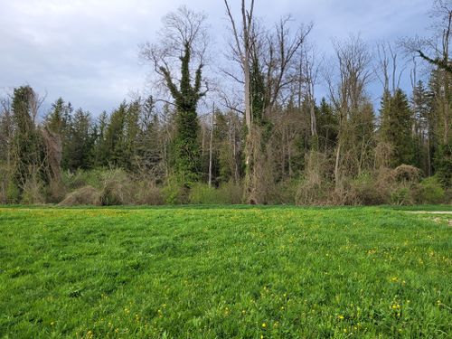
| − | File:2024-04-05 47 8 The Geohash.jpg | + | File:2024-04-05 47 8 The Geohash.jpg |the geohash |
| − | File:2024-04-05 47 8 east.jpg | + | File:2024-04-05 47 8 east.jpg |east |
| − | File:2024-04-05 47 8 south.jpg | + | File:2024-04-05 47 8 south.jpg |south |
| − | File:2024-04-05 47 8 west.jpg | + | File:2024-04-05 47 8 west.jpg |west |
| − | File:2024-04-05 47 8 north.jpg | + | File:2024-04-05 47 8 north.jpg |north |
| − | File:2024-04-05 47 8 grin.jpg | + | File:2024-04-05 47 8 grin.jpg |grin |
| − | File:2024-04-05 47 8 proof 1.jpg | + | File:2024-04-05 47 8 proof 1.jpg |Proof 1 |
| − | File:2024-04-05 47 8 proof 2.jpg | + | File:2024-04-05 47 8 proof 2.jpg |Proof 2 |
</gallery> | </gallery> | ||
| Line 49: | Line 49: | ||
== Ribbons == | == Ribbons == | ||
{{land geohash|date=2024-04-05|latitude=47|longitude=8|name=[[User:globescorer|globescorer]]|image=2024-04-05 47 8 The Geohash.jpg}} | {{land geohash|date=2024-04-05|latitude=47|longitude=8|name=[[User:globescorer|globescorer]]|image=2024-04-05 47 8 The Geohash.jpg}} | ||
| + | |||
| + | __NOTOC__ | ||
| + | [[Category:Expeditions]] | ||
| + | [[Category:Expeditions with photos]] | ||
| + | [[Category:Coordinates reached]] | ||
{{location|CH|ZH}} | {{location|CH|ZH}} | ||
Latest revision as of 18:07, 7 April 2024
| Fri 5 Apr 2024 in 47,8: 47.5823500, 8.7950783 geohashing.info google osm bing/os kml crox |
Location
This Geohash is located in a meadow near Feldi (ZH).
Participants
Plans
Go there in the evening.
Expedition
Success!
No beer after work!... Because I had to reach the todays geohash.
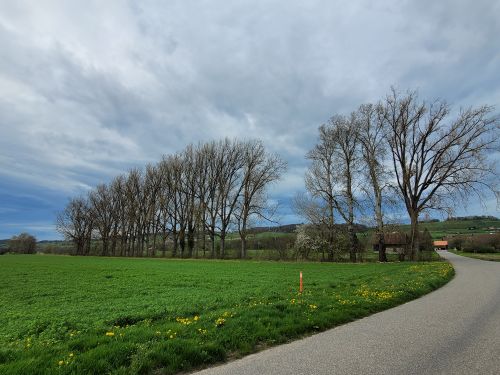
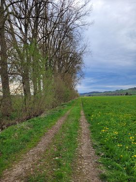
So I drove near the small hamlet of Feldi. I parked at the Schützenhaus and set off on foot. First, comfortably along a stream with a strange old metal bridge. Then on a dirt road to a small group of trees and bushes.
There I left the path and followed the bushes towards the Geohash. I noticed that there was a small pond in the bushes. Luckily the weather was dry. During heavy rain, this piece of meadow will be under water and drain the surrounding fields, which will then flow into this pond.
A few meters further I reached the coordinates and took my photos and screenshots. The weather today is very mild in Switzerland for the beginning of April. These days warmer than it has ever been before. (since measurement)
Now I went briefly to the canal next to the River Thur to see if I could find beaver tracks. But couldn't find it quickly. So I made my way back. Another route through the small village.
Nice and relaxing expedition.
Photos
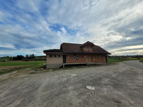
Parking lot: Schützenhaus
geohash in this direction...
Way to go 1
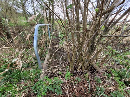
strange old bridge
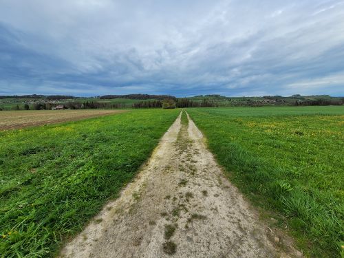
Way to go 2
way to go 3
the pond
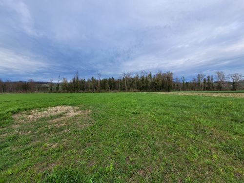
way to go 4
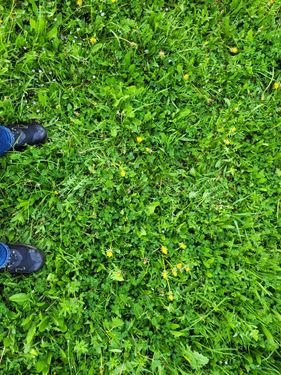
the geohash
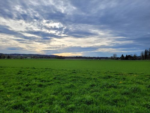
east
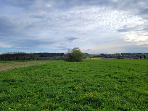
south
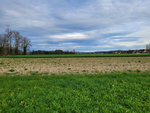
west
north
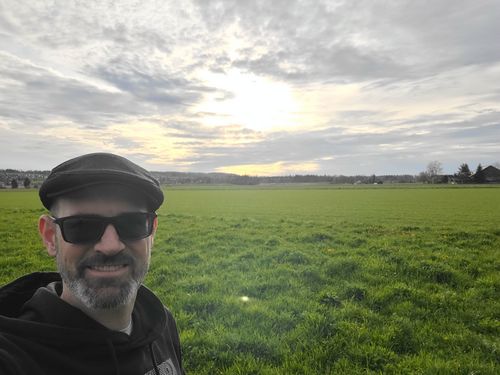
grin
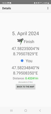
Proof 1
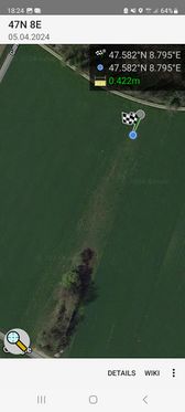
Proof 2


Ribbons
globescorer earned the Land geohash achievement
|