Difference between revisions of "2024-04-26 -36 147"
Felix Dance (talk | contribs) m |
Felix Dance (talk | contribs) m |
||
| Line 20: | Line 20: | ||
==Photos== | ==Photos== | ||
| − | |||
<gallery heights="300px" mode="packed"> | <gallery heights="300px" mode="packed"> | ||
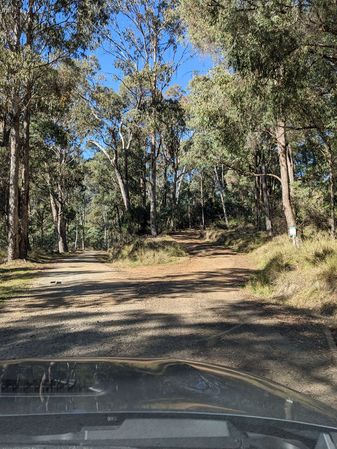
File:Geohash 2024-04-26 -36 147 01 Track.jpg|The track to the hash | File:Geohash 2024-04-26 -36 147 01 Track.jpg|The track to the hash | ||
| Line 34: | Line 33: | ||
File:Geohash 2024-04-26 -36 147 11 Hash.jpg|At the hash | File:Geohash 2024-04-26 -36 147 11 Hash.jpg|At the hash | ||
</gallery> | </gallery> | ||
| − | |||
__NOTOC__ | __NOTOC__ | ||
Latest revision as of 23:35, 3 May 2024
| Fri 26 Apr 2024 in -36,147: -36.7944806, 147.1376805 geohashing.info google osm bing/os kml crox |
Location
In the bush south of Mt Beauty.
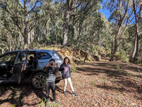
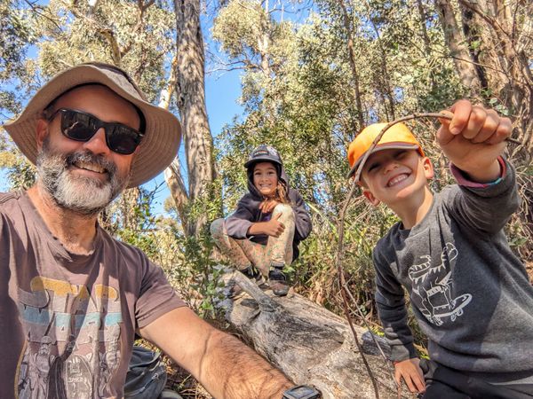
Participants
- Rob
- Small person #1
- Small person #2
Expedition
Rob was staying at Mt Beauty with his family when he noticed this one.
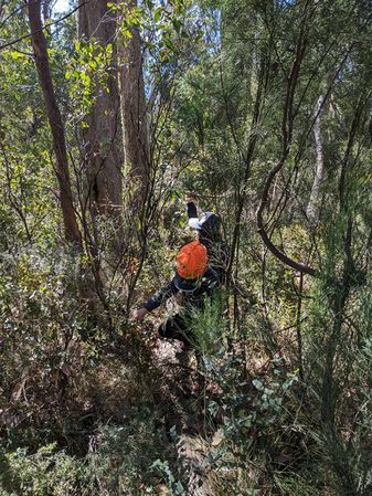
The broader Victorian geohashing community was sceptical about how achievable the hash would be, given the usual state of fire trails in this area. However, Rob and family proved them all wrong as the photos below attest.
The team headed off at 10:26am, taking the family hybrid-electric 4WD. They had supplies, and the fire trail was excellent.
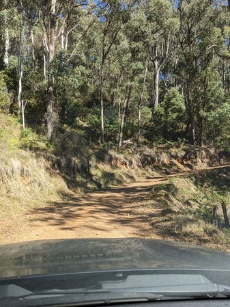
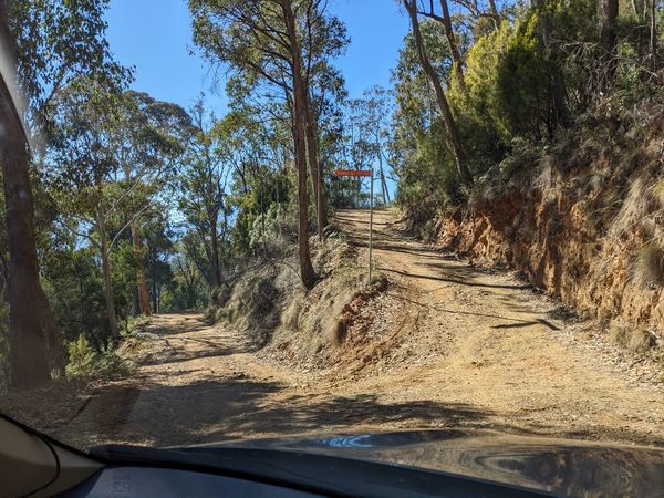
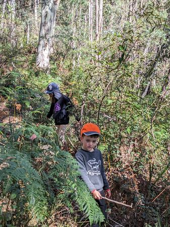
After 40 minutes or so they parked and headed up into the hash-zone. They tried to follow an animal trail but it was a red herring (not usually found on land).
They achieved maximum hash success at 12:06pm and returned to their car and their place of stay.
Photos
The track to the hash
Dashcam
Switchbacked fire tral

The hash is up there
Continue on foot
The hash group
Bush bashing
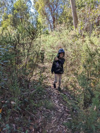
Nearly there
Big step
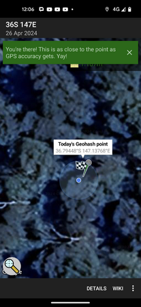
GPS Proof
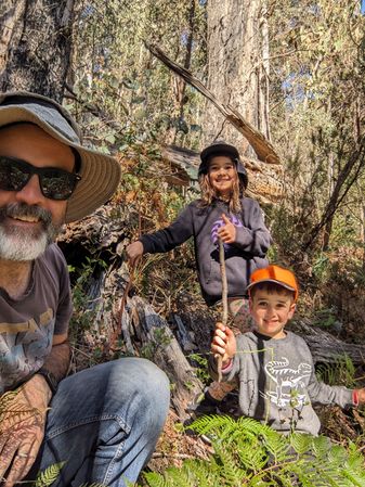
At the hash


