File:2008-07-25 26N80W 16.jpg
From Geohashing
Revision as of 17:54, 21 September 2020 by FippeBot (talk | contribs) (Replacing Category:GPS receivers with Category:GNSS receivers)
No higher resolution available.
2008-07-25_26N80W_16.jpg (800 × 600 pixels, file size: 90 KB, MIME type: image/jpeg)
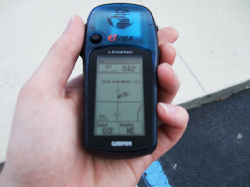
0.62 mi = 997.79328 meters. That's 5 points!
File history
Click on a date/time to view the file as it appeared at that time.
| Date/Time | Thumbnail | Dimensions | User | Comment | |
|---|---|---|---|---|---|
| current | 16:45, 30 January 2020 | | 800 × 600 (90 KB) | Maintenance script (talk | contribs) |
- You cannot overwrite this file.
File usage
The following 2 pages link to this file: