Difference between revisions of "File:2008-11-22 30 -98 gps.JPG"
From Geohashing
(Maintenance script uploaded File:2008-11-22 30 -98 gps.JPG) |
m (Replacing Category:GPS receivers with Category:GNSS receivers) |
||
| Line 2: | Line 2: | ||
30°27.931' N, 98°1.329' W | 30°27.931' N, 98°1.329' W | ||
which is the same as the lat/lon written on the piece of paper | which is the same as the lat/lon written on the piece of paper | ||
| − | [[Category:Meetup on 2008-11-22]][[Category:Meetup in 30 -98]][[Category: | + | [[Category:Meetup on 2008-11-22]][[Category:Meetup in 30 -98]][[Category:GNSS receivers]][[Category:Xkcd markers]] |
Latest revision as of 18:12, 21 September 2020
GPS shot showing the current location as: 30°27.931' N, 98°1.329' W which is the same as the lat/lon written on the piece of paper
File history
Click on a date/time to view the file as it appeared at that time.
| Date/Time | Thumbnail | Dimensions | User | Comment | |
|---|---|---|---|---|---|
| current | 15:35, 30 January 2020 | 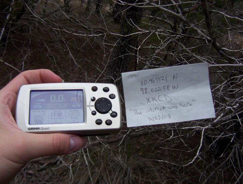 | 816 × 616 (87 KB) | Maintenance script (talk | contribs) |
- You cannot overwrite this file.
File usage
The following page links to this file: