File:2008-12-29 37 -122 GPS.jpg
From Geohashing
Revision as of 18:16, 21 September 2020 by FippeBot (talk | contribs) (Replacing Category:GPS receivers with Category:GNSS receivers)

Size of this preview: 800 × 600 pixels. Other resolutions: 320 × 240 pixels | 1,600 × 1,200 pixels.
Original file (1,600 × 1,200 pixels, file size: 653 KB, MIME type: image/jpeg)
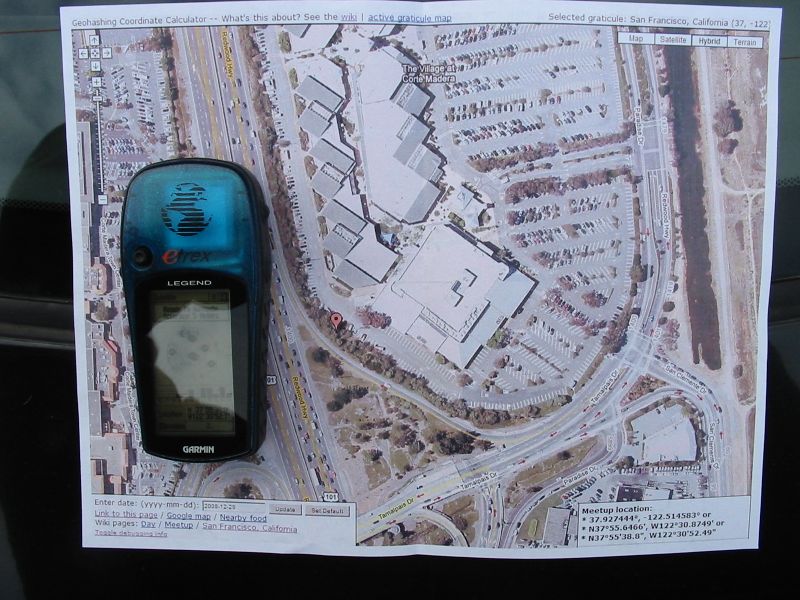
Photo of GPS and map of 2008-12-29 37 -122 geohash point
File history
Click on a date/time to view the file as it appeared at that time.
| Date/Time | Thumbnail | Dimensions | User | Comment | |
|---|---|---|---|---|---|
| current | 15:05, 30 January 2020 | | 1,600 × 1,200 (653 KB) | Maintenance script (talk | contribs) |
- You cannot overwrite this file.
File usage
The following 2 pages link to this file: